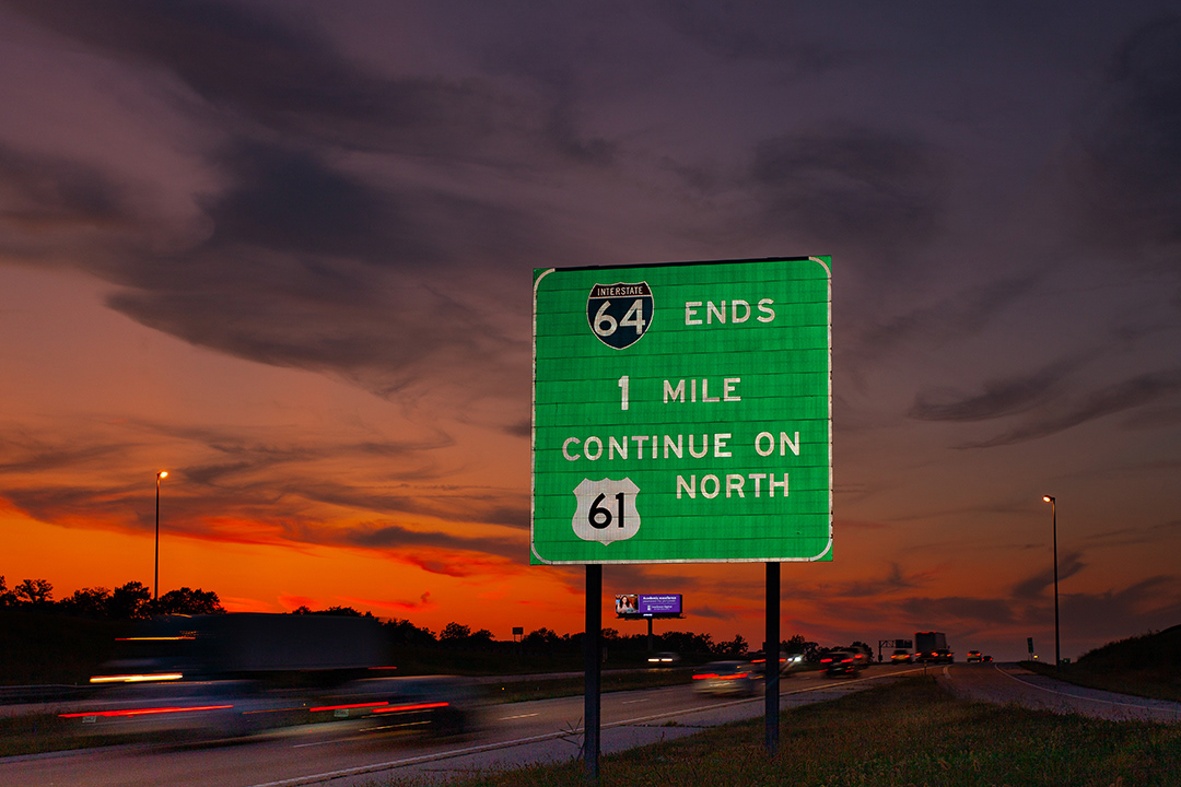
The Western Terminus of I-64 lands in western Saint charles County in wentzville, mo.
1961 Plans envisioned lake st. louis as a private resort community on two man-made lakes between I-70 and i-64 in Western St. Charles county, Missouri. this planned community has a population of over 14,000
suburban sprawl takes many forms. one is the planned community. Winghaven, built on the site of a former chicken farm, it covers over 900 acres of o'fallon, mo. its developer describes winghaven in corporate-speak - "WingHaven® is a crossroads of engagement driven by McEagle’s LifeWorks™ concept – the integration of living, learning, working and playing. LifeWorks™ serves as a powerful counterweight to lives that are often multi-tasked into isolation. It nurtures an emerging creative class coveted by companies that see human capital as their greatest “edge.”
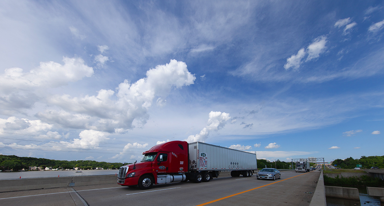
the daniel boone bridge spans the missouri river between st charles and st louis counties
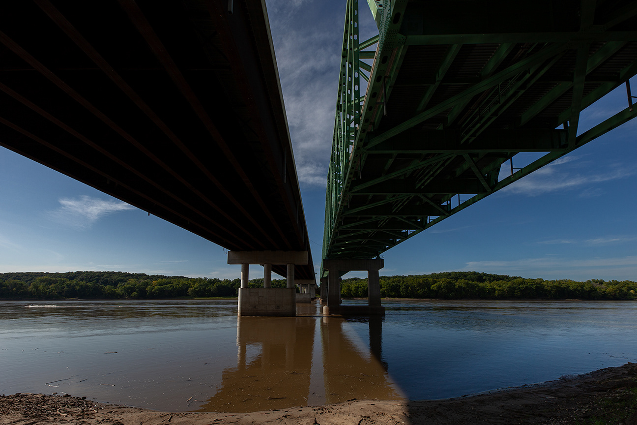
Daniel Boone Bridge, I-64, Missouri River from chesterfield, mo bank
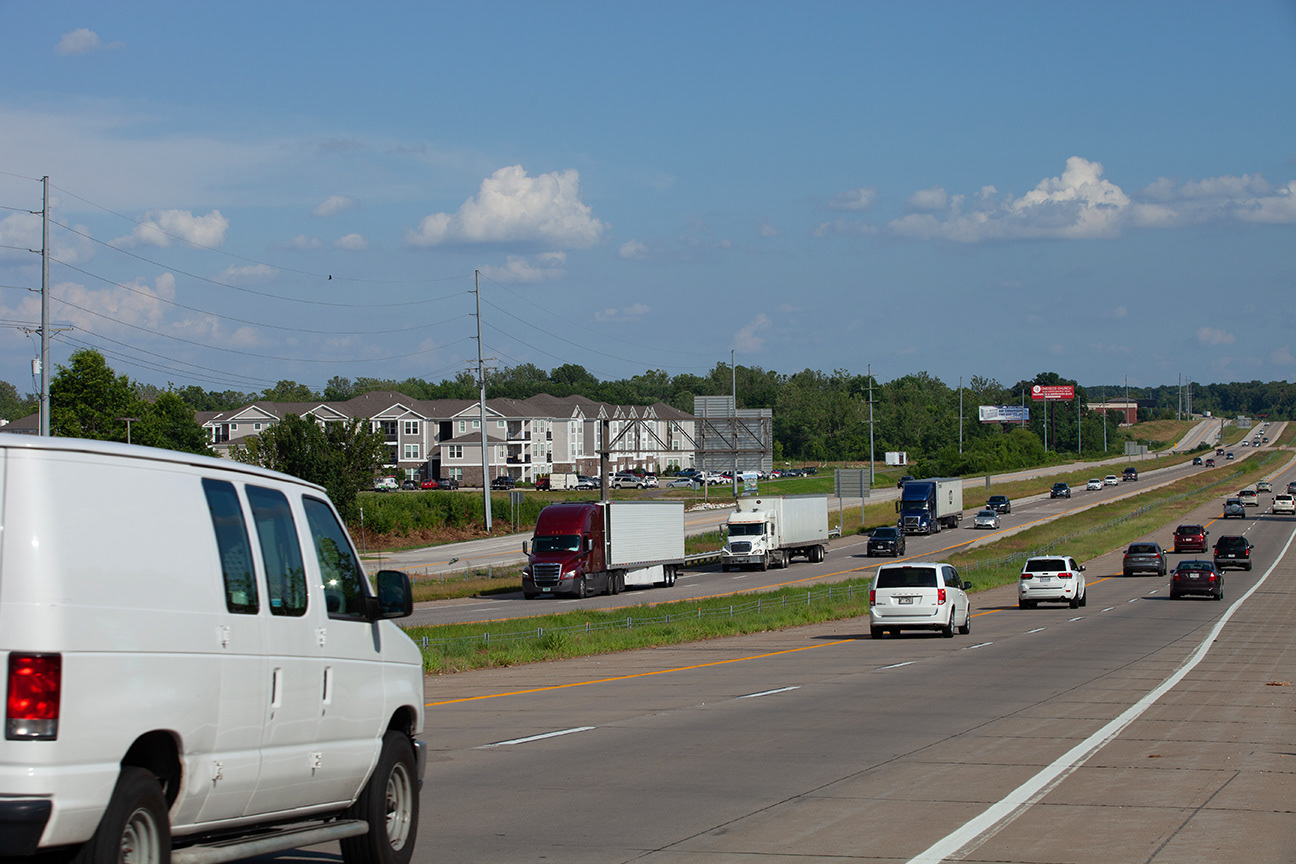
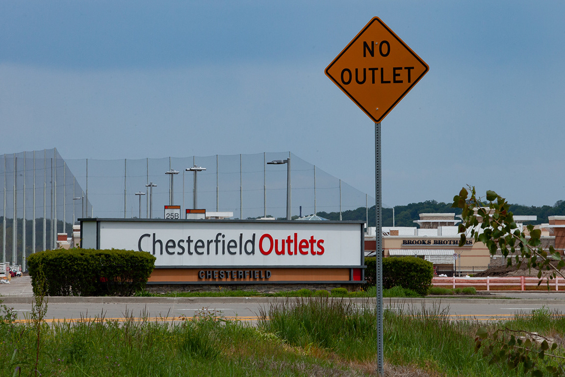
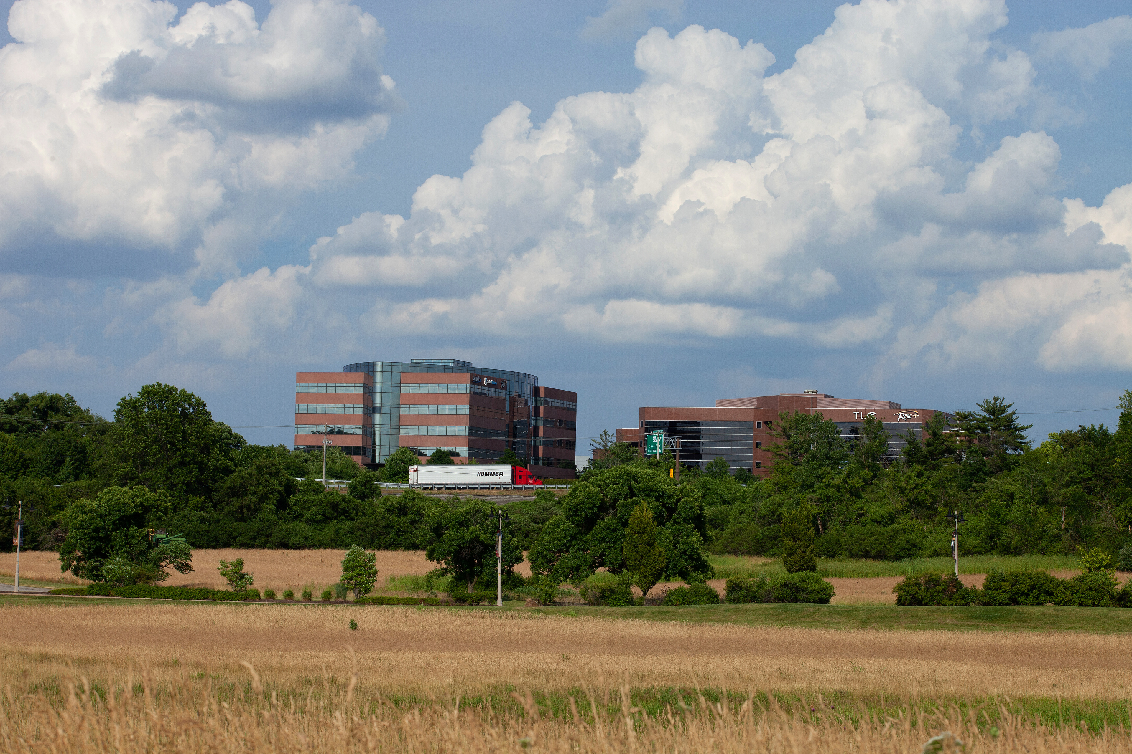
Formerly called "gumbo Flats" the chesterfield valley is a fertile floodplain of the missouri river. Upscale retail and big box stores cover this wetland area in paving stones , asphalt, concrete and steel
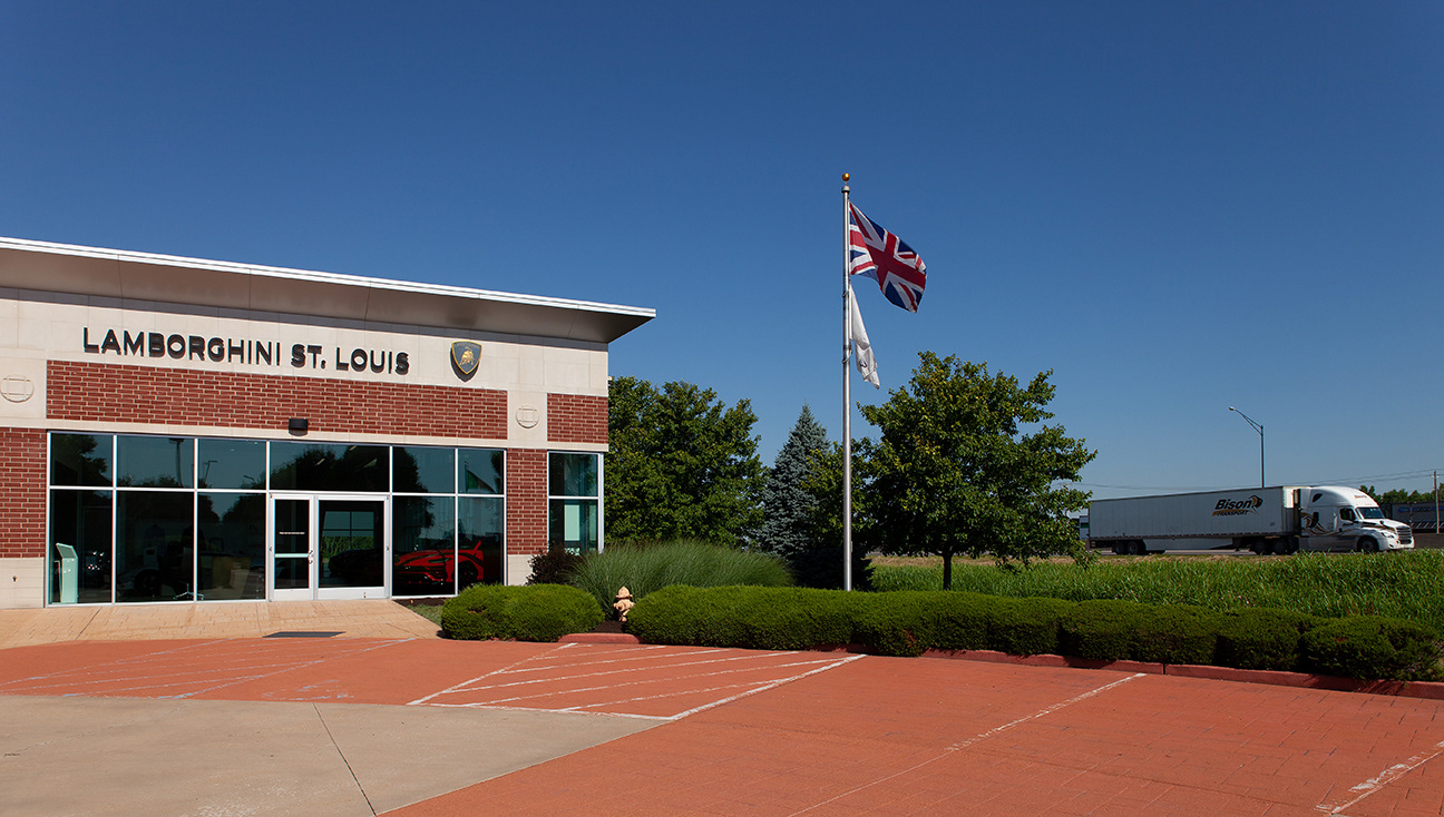
new retail and recreation complexes pop up along I-64 in chesterfield, mo
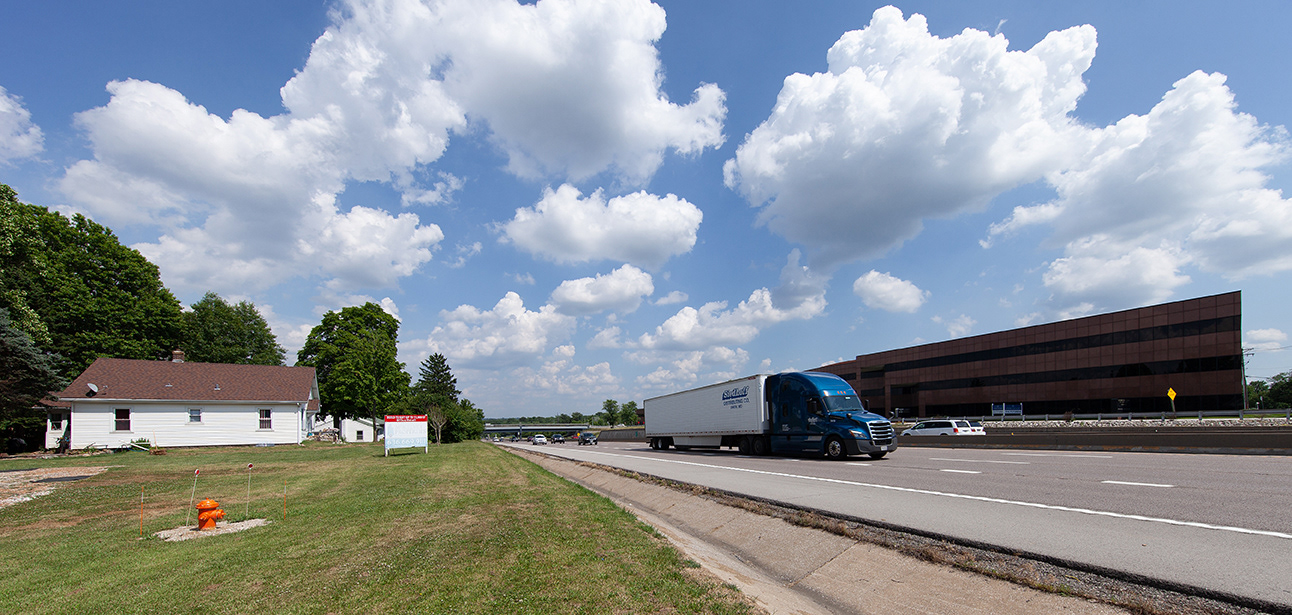
this pre-interstate house and one other are all that remains of a early twentieth century neighborhood in Chesterfield, mo.
a FEW ACTIVE FARMS remain ALONG THE EDGE OF 1-64 IN CHESTERFIELD
Town and Country Mo is a sprawling suburb made possible in part by its easy access to I-64
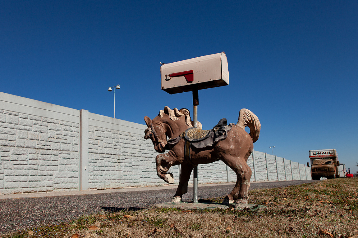
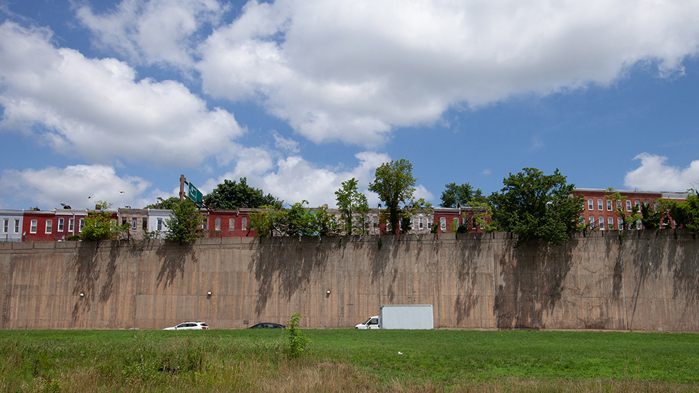
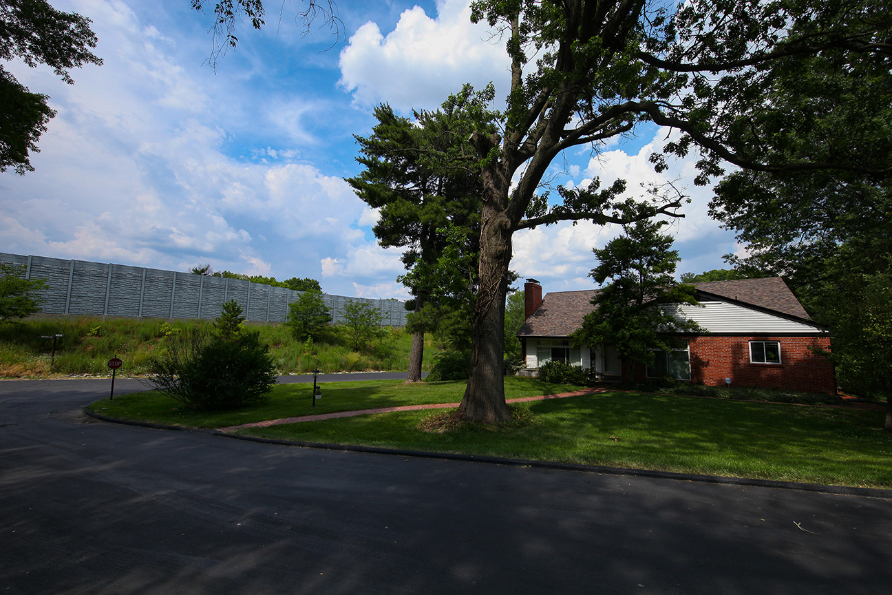
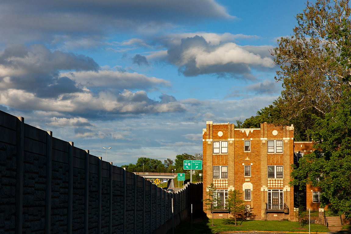
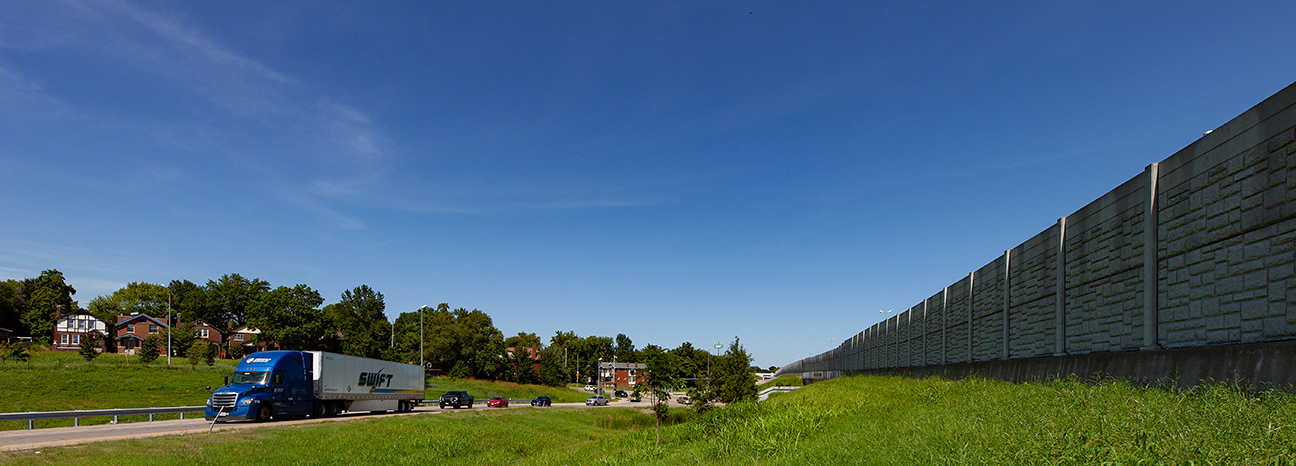
mailbox, I-64 sound barrier wall,frontenac, mo
A VIEW OF THE SOUTHERN PORTION OF LADUE, MO across I-64. Ladue ranks as the wealthiest city in Missouri and hovers around the top twenty wealthiest cities in the USA.
I-64 nips a corner of the town of Brentwood, MO
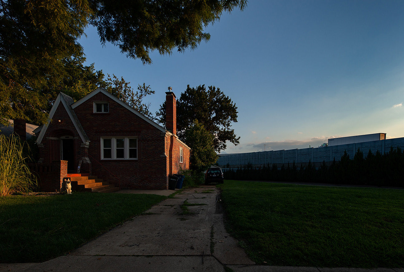
ceramic dog, Antler Dr, Richmond heights, MO, I-64
i-64 bisects the inner ring suburb of richmond heights, MO. the municipality touts its location along two highway corridors (I-64 & I-170) as a benefit. established in 1913, richmond heights continues to adapt to the highway, I-64 follows a corridor established by US 40. this cross country highway runs through saint louis county on its way from atlantic city, nj to san francisco,ca.
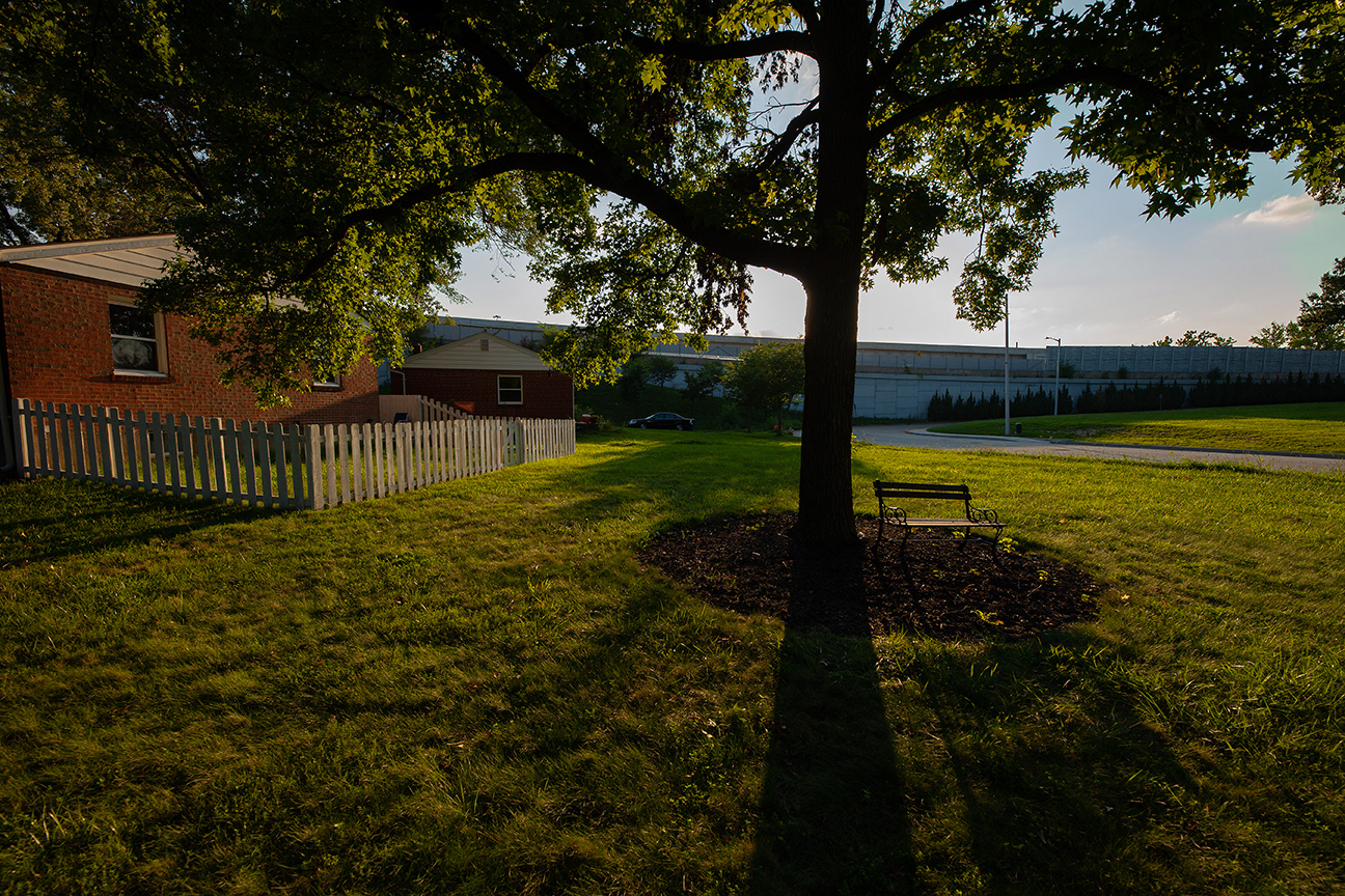
park bench, Red Bud Ave, Richmond Heights, MO, I-64

Boland Ave overpass, Richmond Heights, MO, i-64
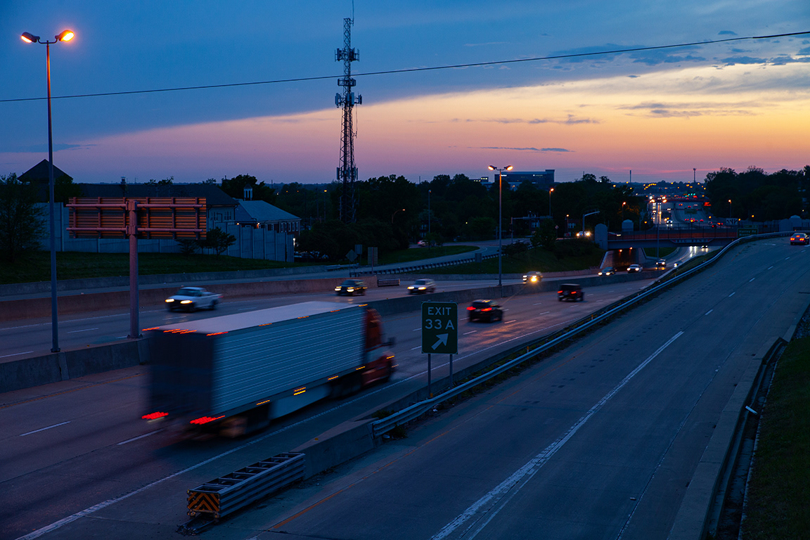
Exit 33A to Big Bend Blvd, Richmond Heights, MO
I-64 East, Hawthorne Place, Richmond Heights, MO
westbound ramp to i-64 at mccausland ave on the city limits , Soundwall
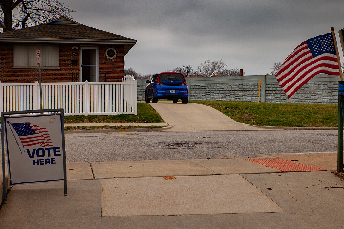
I-64 sound barrier from dewey school on primary election day, 2020
this is my polling place. It is a five block round trip walk from my back gate.
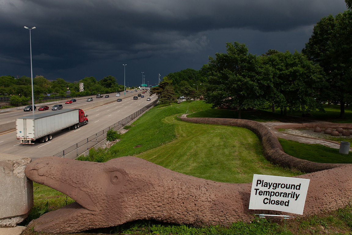
Turtle PaRK IN THE CITY'S DOGTOWN NEIGHBORHOOD IS CLOSED DURING THE CORONAVIRUS OUTBREAK. HIGHWAY 64 REMAINS OPEN.
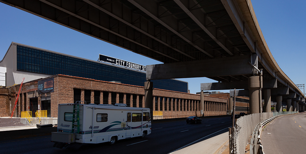
a report by ksdk on 8/5/20 states that the opening of this new development in midtown has been delayed by coronavirus
the eastbound 20th street on ramp fades into the site of soccer stadium construction.
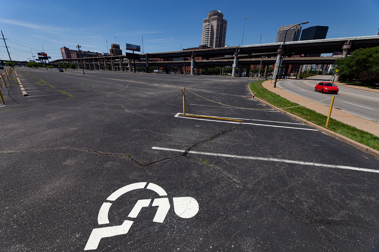
An asphalt desert runs 7 blocks west from nearby busch stadium along the southern edge of 1-64.
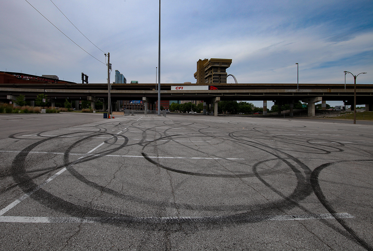
Looking toward downtown St Louis and I-64 from the parking lot at cerre ST and 4th st.
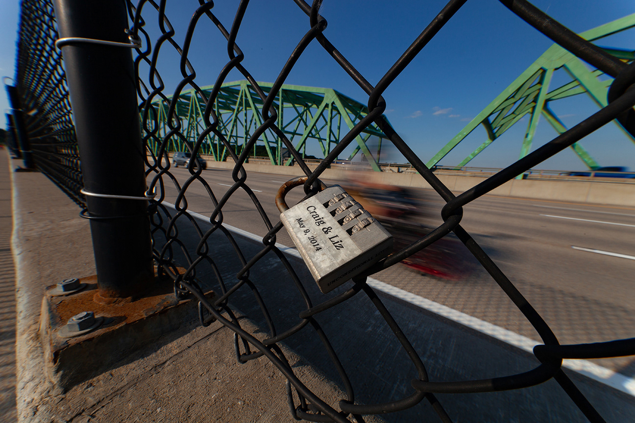
Three interstates merge at the poplar st. bridge in downtown st louis. this view is under the I-64 on ramp at 2nd st
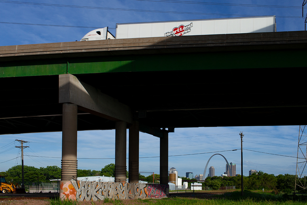
under the i-64 poplar st bridge approach looking toward St Louis, Mo from east st louis, il
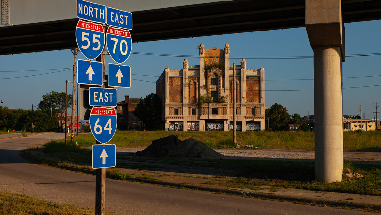
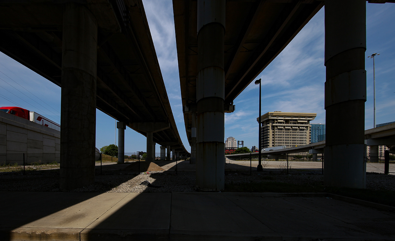
Interstates 55 and 64 from the Missouri Ave overpass, east st louis, IL
three interstate highways and their access ramps cut large chunks out of east saint Louis. Since 1960 the city's population fell from 81,728 to an estimated 26,047 in 2019 - a decline of 79.5%. many factors caused this drop - poverty, crime, lack of opportunity, substandard housing. however, the presence of miles of federal road criss crossing the community make the city's efforts to rebuild difficult.
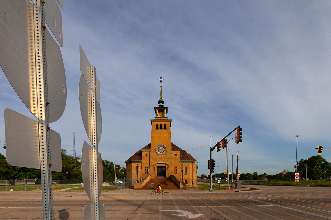
Highway signs, Immaculate conception Lithuanian Church, (established 1895), East St Louis,Il

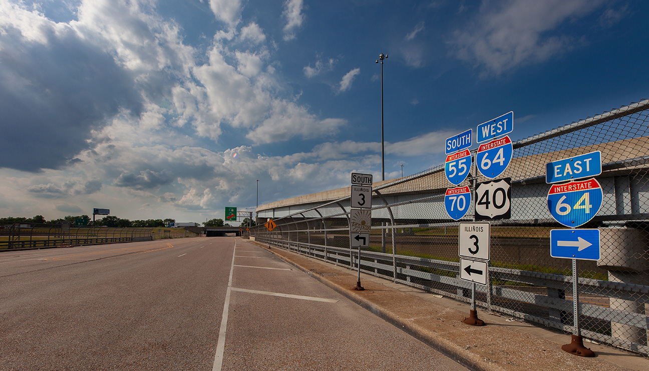
I-64 3rd St. Exit East St Louis, IL

The Neowise comet was visible over i-64 outside new baden, il on 7/22/20
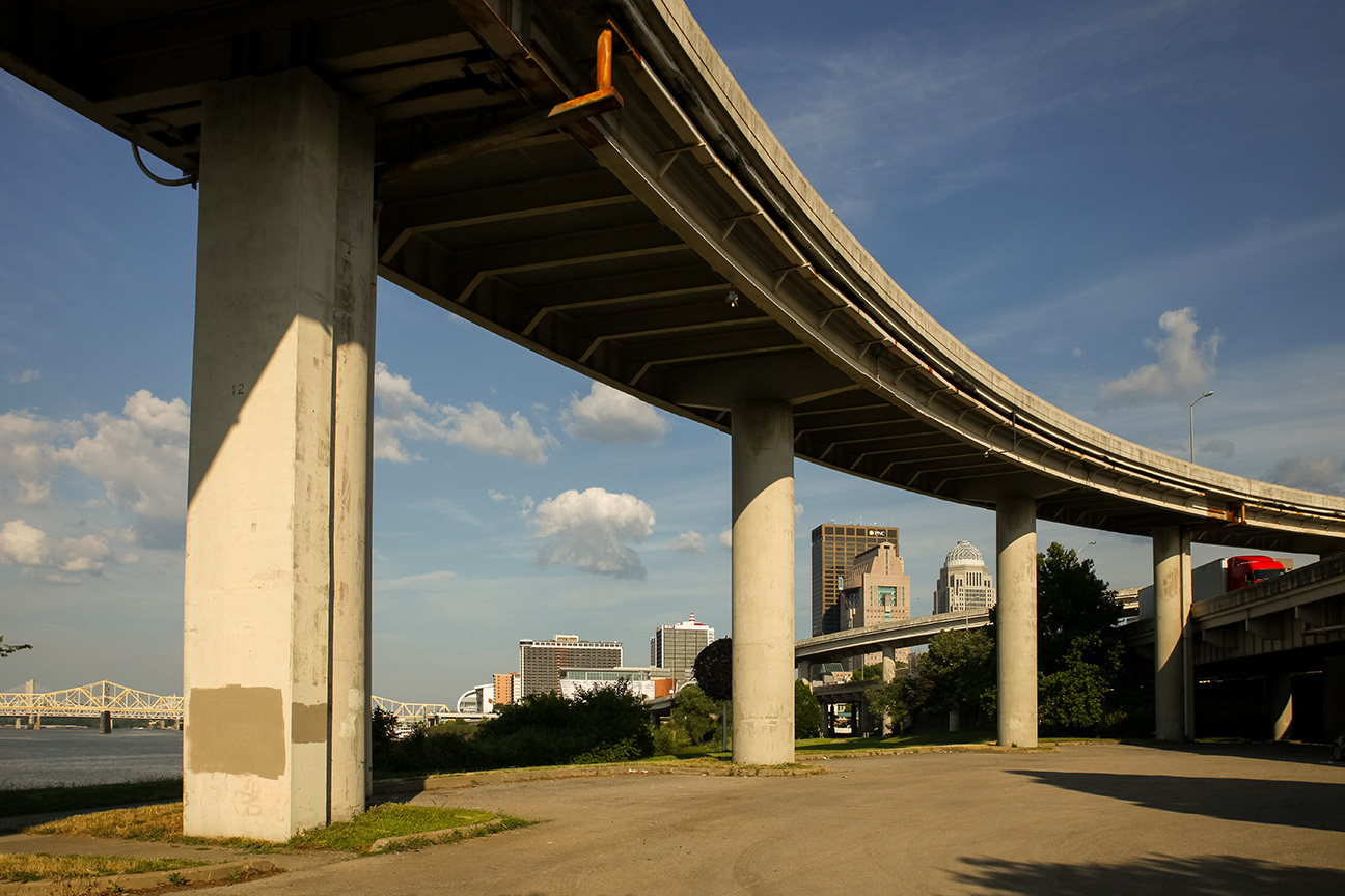
I-64 divides downtown louisville, ky from the city's riverfront
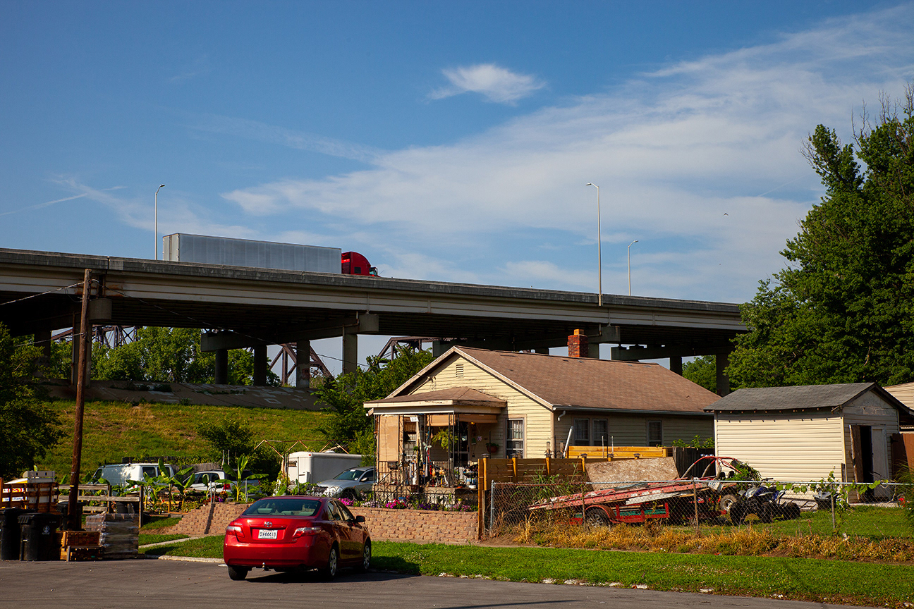
portland is the largest neighborhood in louisville, KY. the former port on the ohio river was founded in 1811 as a separate town. louisville annexed portland in the 1850's.
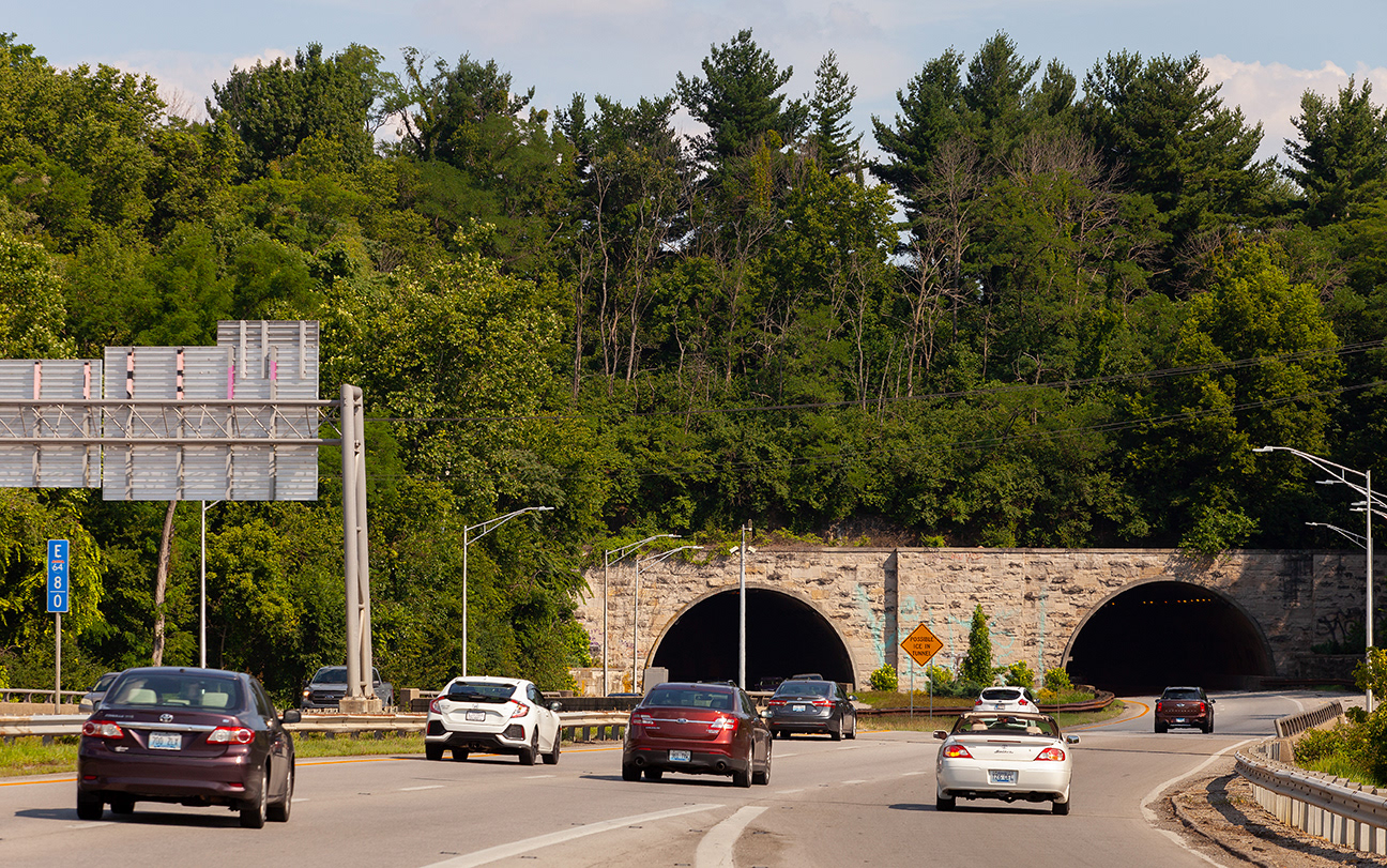
i-64 nicks a portion of Louisville's Cherokee Park. This park was designed by Frederick Law Olmsted, the father of landscape architecture. These two tunnels wer deemed "exceptionally significant" by the federal Highway administration. this designation means it will be very difficult for the stretch of interstate running through the park to ever be widened.