The Original Project - SAINT LOUIS 2016
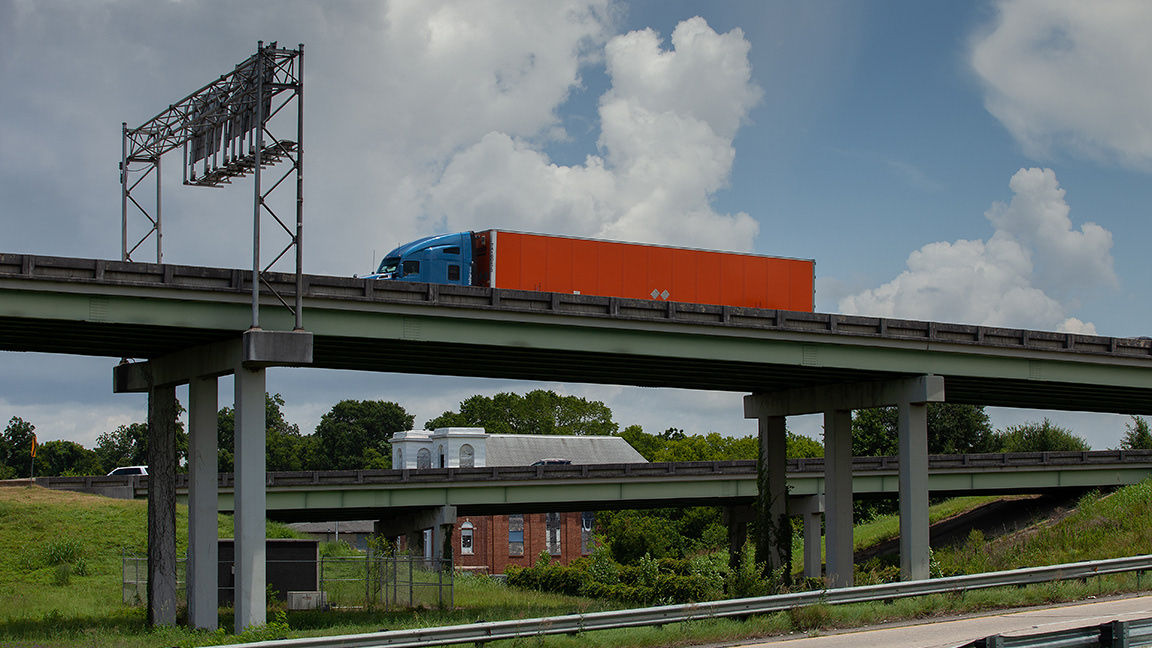
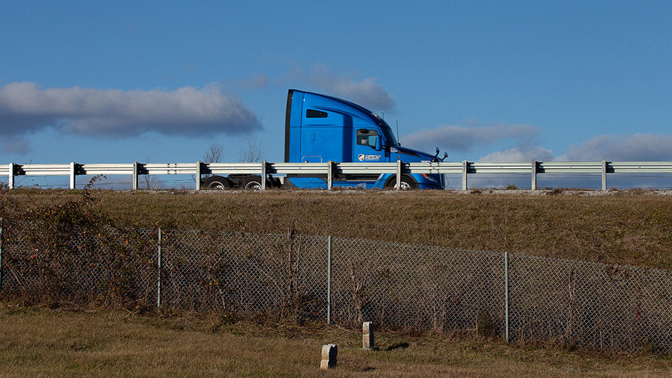
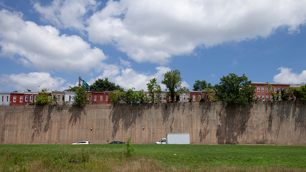
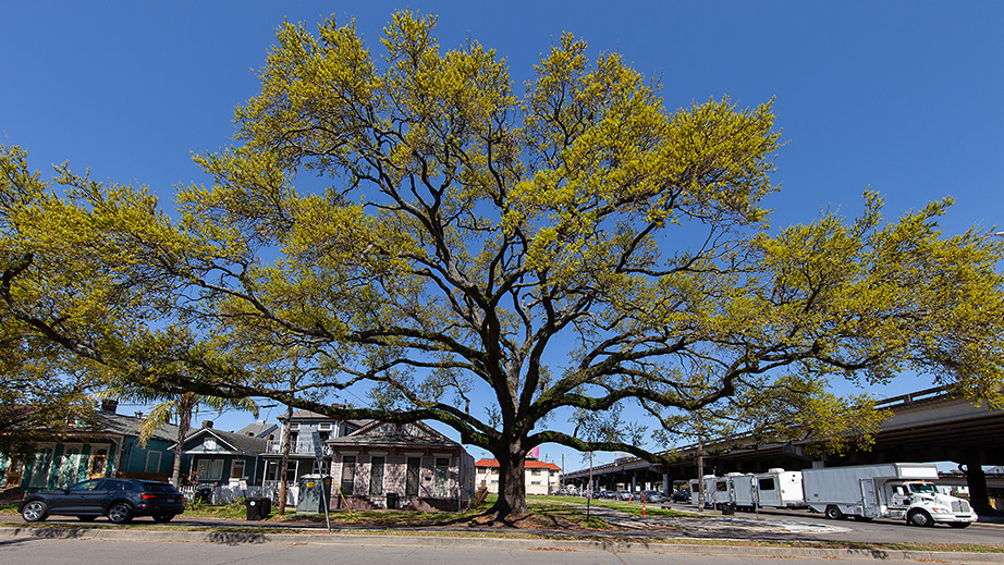
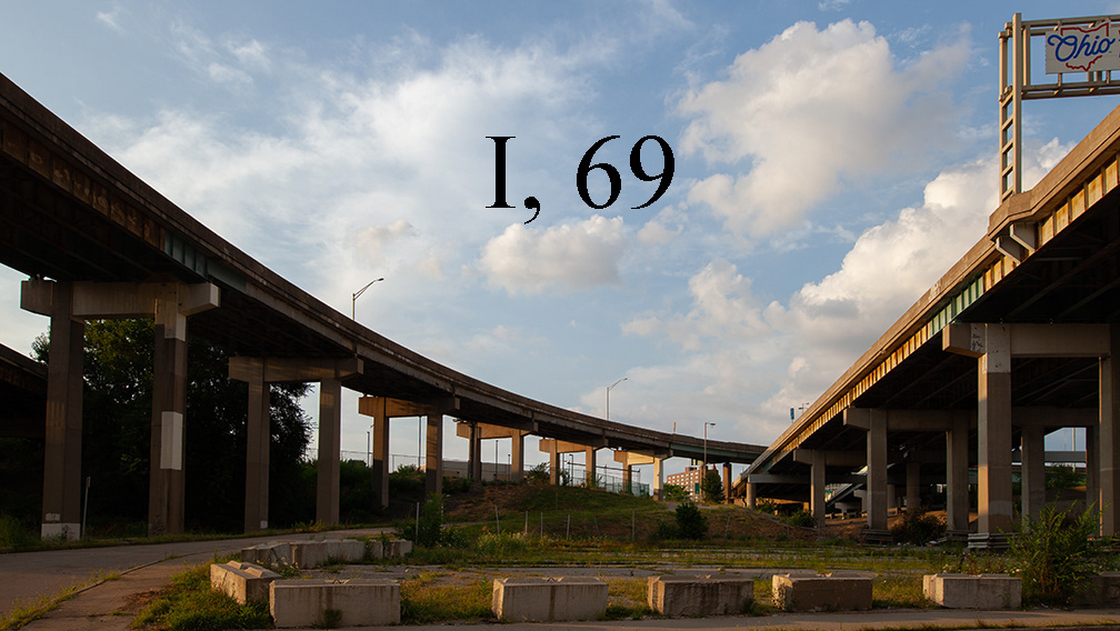
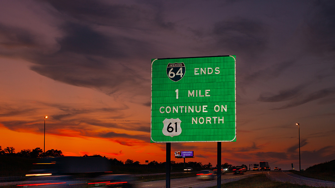
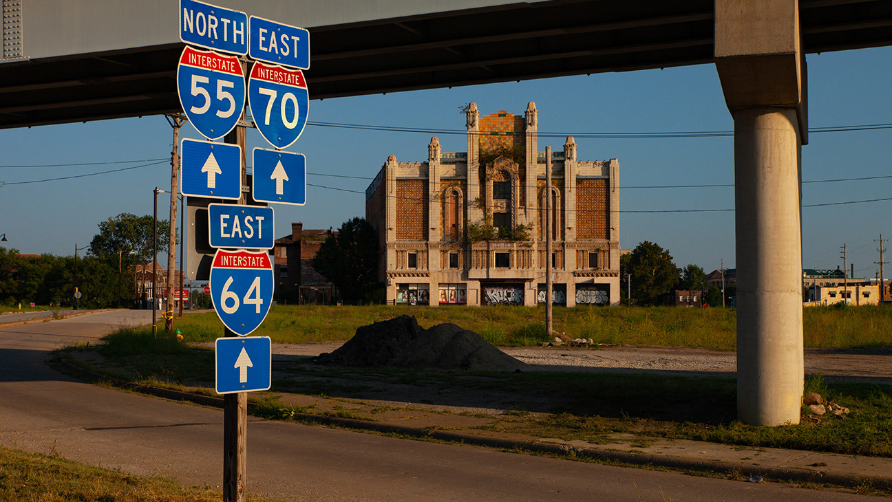
THE INTERSTATE AT 60 IN ST LOUIS Happy Birthday The Interstate Highway System turns sixty in 2016. To paraphrase Indiana Jones - "it's not the years, its the mileage." Neither years nor mileage have been kind to the city of Saint Louis, MO, which turned 250 in 2014. This photography project attempts to document the impact of a late-twentieth century transportation network on a nineteenth century American city. The City of Saint Louis, MO is comprised of approximately 80 residential neighborhoods. Forty-one of these districts are bounded, sliced, and buried under the concrete and rebar of one or more of the four interstate highways slashing through the Gateway City. Initially conceived as a vital element of the nation's defense, the federal highway system may have inadvertently weakened national security by increasing oil dependence via urban sprawl. Historical Background The confluence of the Mississippi and Missouri Rivers is also the confluence of the celebrated Route 66 and the venerable National Road. These became part of the largest public works project in America - the Interstate Highway System. Mapped and discussed as early as 1916, the interstate highway system finally found its champion in Dwight D. Eisenhower. "Ike" recognized the tactical failings of the nation's existing coast to coast road and bridge network while on a cross country military convoy in 1919. The trip's sixty-two day duration made a lasting impression on the young tactician. He envisioned a national defense network that would allow the rapid deployment of troops and ordnance to any point in the country over a paved two lane highway with reliable bridges. Later, his WWII experience broadened the vision from two lanes into an expansive, multi-lane transit corridor similar to Germany's autobahn. President Eisenhower signed the Federal Aid Highway Act of 1956 into law on June 29. Saint Louis and the Interstate Highway System Interstates 44, 55, 64 and 70 converge in downtown St. Louis as part of a nearly 48,000 mile transportation network. Also, the I-270 beltway crosses the Mississippi River at the Riverview neighborhood in the city. No use crying over spilled gasoline, but while engaged in this project I could not help ask the question "what if the interstate highways had bypassed the urban core instead of blowing through the center of town?" Mission Statement Conjecture and speculation regarding "what if" are not the purpose of this project. The purpose is to create a visual document that might provoke meaningful discussion on the impact of the automobile on American cities. This photo documentary attempts to show the visual legacy of a highway system on a great American city. Some people only glimpse Saint Louis as a blur through a windshield or a diminishing view in a rear view mirror. This story is not unique to Saint Louis. Neighborhoods in many American cities struggled after the interstates blew through on their way to somewhere else. Hundreds of thousands of city residents in Saint Louis alone followed the easy path out of town created by the modern highways. I encourage photographers to take the opportunity to document the impact of the Interstate Highway System on their towns during the road's anniversary year. Maybe someone with vision, influence and resources will be moved to action by an image. Saint Louis and the nation recently benefited from the capping of a short but critical section of the Interstate. The block in question divided the Gateway Arch grounds from the Old Courthouse on the Jefferson National Expansion Memorial. A cap over the highway creates a pedestrian-friendly link over a busy section of interstate. Organization of Images This project is a collection of images, not a narrative. The 60 Photos are organized in the following order: The first 12 images are placed chronologically by known date of landmarks. Then next 10 images cover I-70 from east to west. The following 6 images follow I-55 from north to south. The next 4 images explore the scope of the 1-44/55 interchange. Fourteen images follow I-44 in a southwesterly direction from downtown Saint Louis. I-64 is charted from east to west in the next 12 pictures. The last two photos in the series are stand alone images. The I-270 beltway bypasses the urban core on a loop around the edge of Saint Louis County. The final image shows the new cap over a block of 1-44 that now links the Gateway Arch to the Old Courthouse. Sources An online map of Saint Louis neighborhoods at stlouis-mo.gov provided the guide to neighborhoods Caption information that refers to an estimated construction date for specific houses or blocks is copied from a parcel map of the City of St. Louis provided by the Saint Louis Post Dispatch on 2/12/14. Wikipedia provided the dates of landmarks and structures Photography was done without digital compositing of elements. Happy Birthday to Us ! Like the Interstate Highway System, I was also created in 1956. This project is a challenge I gave myself to mark my 60th year. I completed it on the eve of my birthday with the photograph of lightning over the Clayton Ave. overpass in the Hi-Pointe neighborhood. I would like to thank the spirit of Thomas Easterly - an inspirational St. Louis photographer from the nineteenth century - for the lightning. Please explore the other projects posted on this portfolio site by clicking on the "Projects" link at the top of the page. Another original portfolio of Saint Louis images posted here: http://defilippo.photoshelter.com/portfolio/G0000LIm0r8nreE4 MD - 8/28/16 Media Coverage http://www.ai-ap.com/publications/article/19184/photographer-profile-michael-defilippo-theres.html http://www.huffingtonpost.com/entry/photo-series-st-louis-freeways_us_57c09eb8e4b04193420f22fd http://www.stltoday.com/news/local/metro/st-louis-photographer-documents-th-year-of-u-s-interstates/article_88acc07a-8702-503c-8b64-02bf40864cc5.html https://www.fastcoexist.com/3063115/these-desolate-photos-show-how-highways-ruined-st-louis-neighborhoods https://nextcity.org/daily/entry/highways-cities-urban-renewal-st-louis-design
