I, sixty-seven year-old photographer Michael DeFilippo, share a bond with the interstate highway system.
We were both born in 1956.
2023 marks the interstate's 67th year.
The "I,67 " portfolio explores the impact of the interstate highway on specific neighborhoods in Baltimore, MD, Syracuse, NY, Richmond and Roanoke, VA Charleston, WVA, Louisville, KY, Minneapolis and St paul, MN and Topeka, ks
Topeka, Richmond, Charleston and St. Paul are state capitals
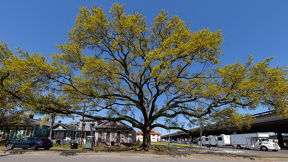
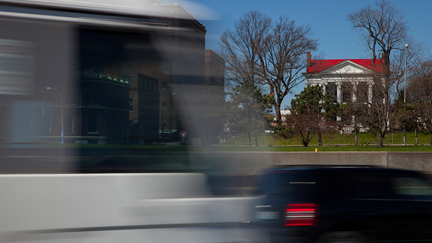
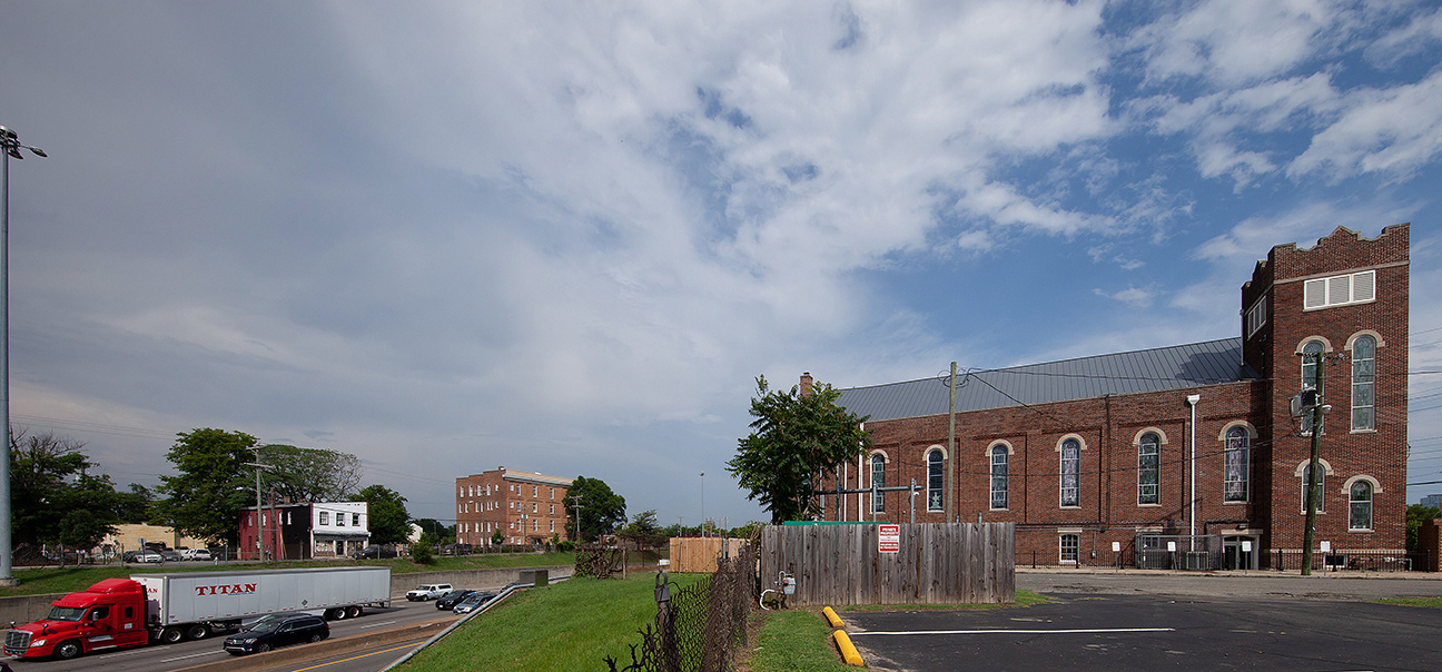
Baltimore, maryland
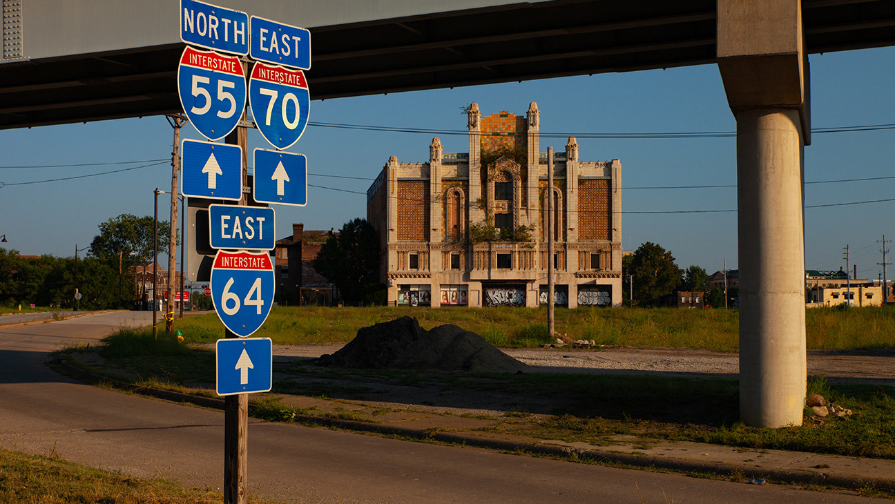
"The highway to nowhere"
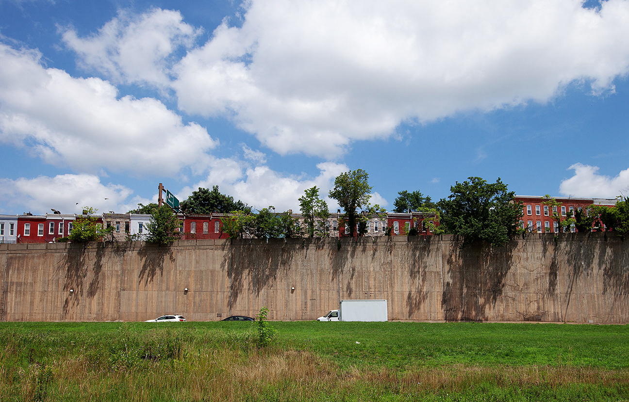
Brainchild of Robert moses, the Franklin Mulberry Expressway's stated intent was to link multiple interstate highways - I-70, I-95 and -I-83 along Us route 40. instead it left a scar on the historic edmondson neighborhood on the west side of Baltimore, MD.
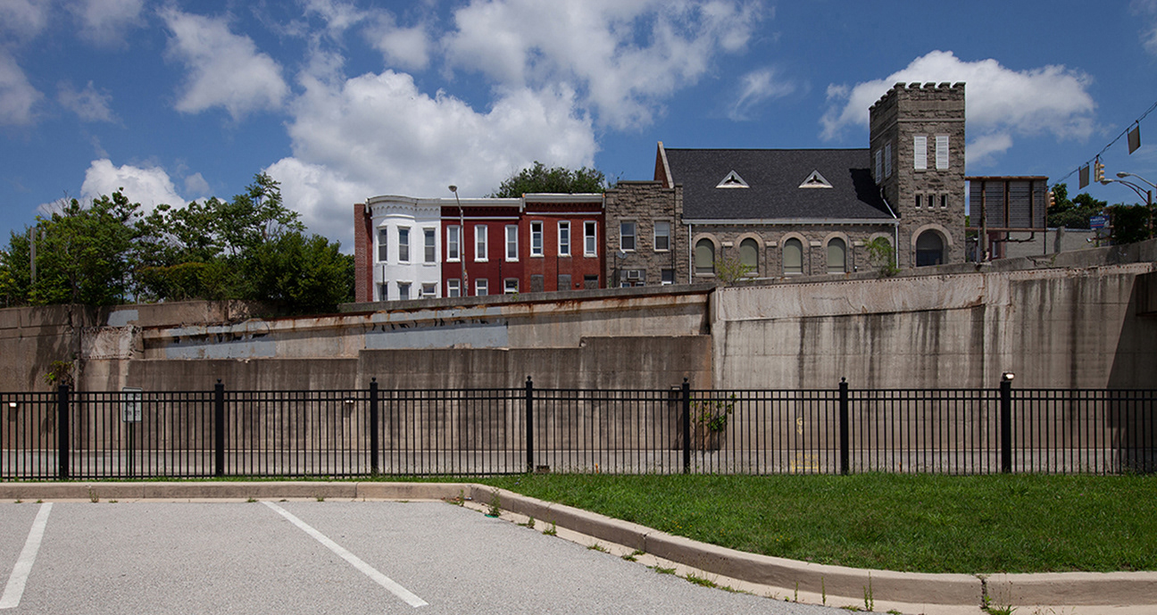
new union baptist church and row houses, franklin & N. Monroe Sts, baltimore, md
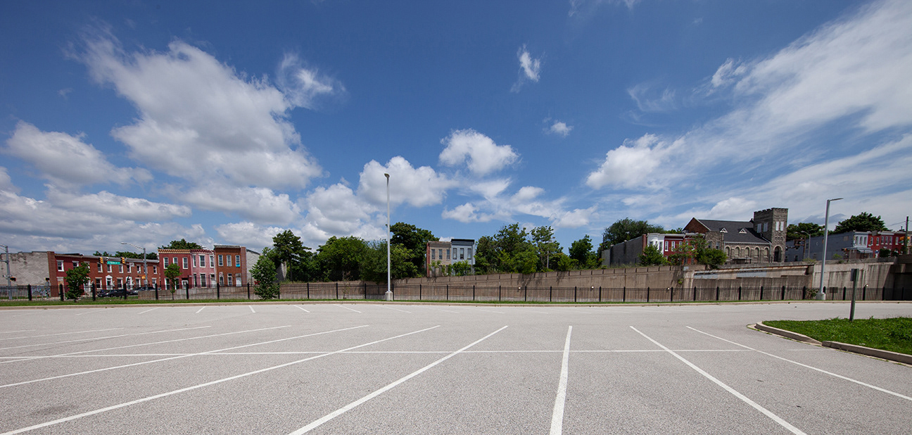
Commuter lots cover two blocks between franklin and mulberry west of monroe
the q1.39 mile long expressway demolished 971 homes and 62 businesses, displacing approximately 1,500 people during the 1970's.
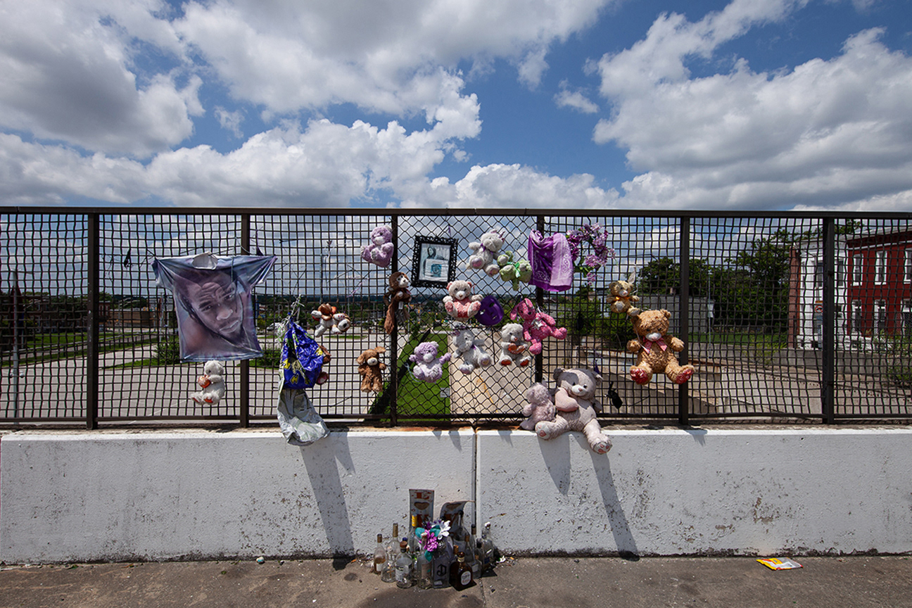
overpass memorial, Us 40 baltimore, md
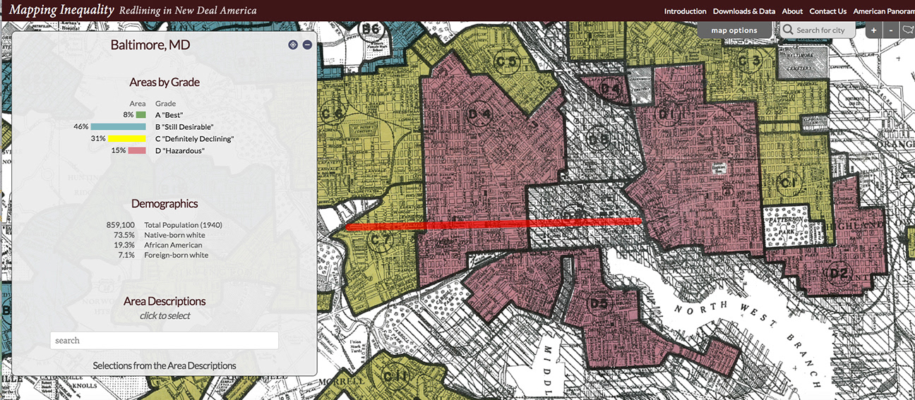
The university of richmond developed a map and atlas of redlining maps from 1940. I added the approximate route of the highway to nowhere over The redline map for baltimore
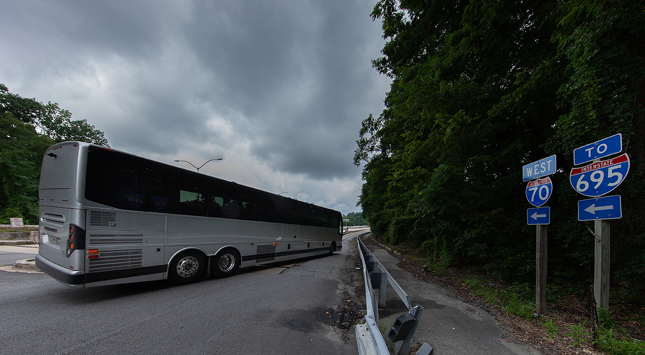
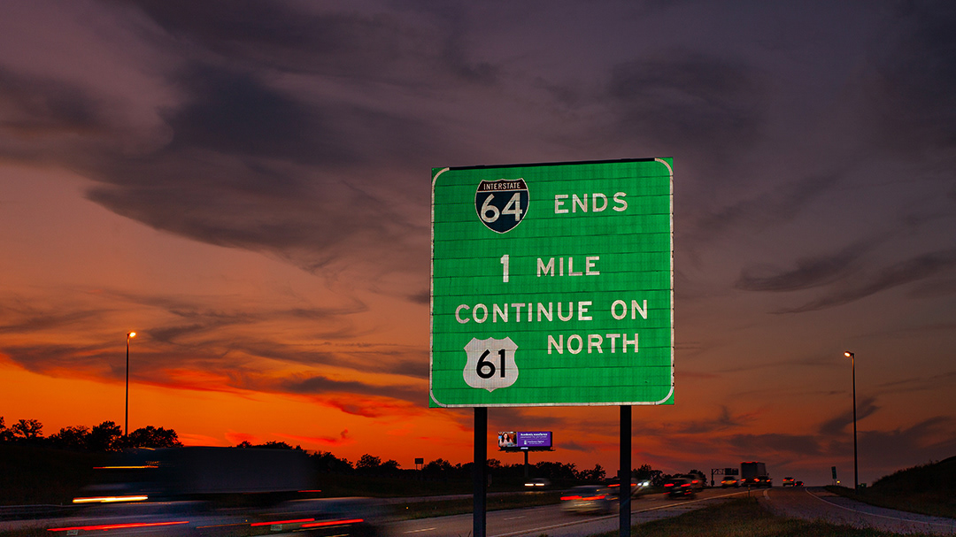
The i-70 eastern terminus stops abruptly outside Baltimore.
resistance from white neighborhoods blocked completion of linking 70 with the corridor built through the edmondson neighborhood
Syracuse, NY
15th ward
Tbe extension of Interstate 81 through Syracuse, NY's historically black 15th ward in the 1970's displaced an estimated 1,500 families.
Richmond, va
Jackson ward
The path of I-95 split historic african-american neighbhorhood Jackson Ward in richmond, va in two.
estimates of houses eliminated in this neighborhood range from 700-1000.
I-95, Sixth Mount Zion Baptist Church, Jackson Ward
“In the mid 1950s, Interstate 95 was being constructed. And it came through downtown Richmond and, specifically, through the historic Jackson Ward neighborhood, an African American neighborhood,” and the church’s home turf, says Ross. As about a thousand homes were destroyed to make way for the highway, white city and state officials eyed the church, in the planned path of the highway, as an obstruction. Sixth Mount Zion’s congregation heartily disagreed and pushed back against the intrusion, says Ross.
“Three alternatives were offered to the church: one, tear the church down and let the highway come through. Two, move the church out of the way, so that the highway can come through. And then three, leave the church alone and swing the highway around the church,” Ross says. Members’ advocacy to save their spiritual home, combined with the weighty legacy of John Jasper’s pioneering work as a 19th century Black minister, persuaded officials to relent.
“Well, of course, that third alternative did prevail, and the church was not demolished,” says Ross. The highway still snakes past the sanctuary, the traffic’s roar audible from the church’s steps. Thousands of motorists pass the sanctuary each day, likely unaware that it fended off a major, state-sanctioned threat to its existence. “I jokingly call our church the Gibraltar of Jackson Ward,” says Ross.
- From "The gibraltar of jackson ward", samantha willis, vpm/pbs, 3/31/22
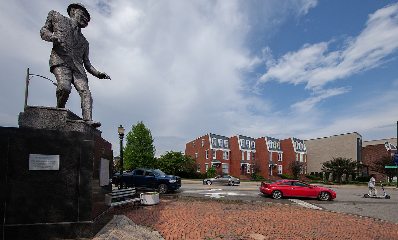
This statue of dancer bill "bojangles" robinson is a jackson ward landmark. i-95 is but steps away.
charleston, wva
Triangle district
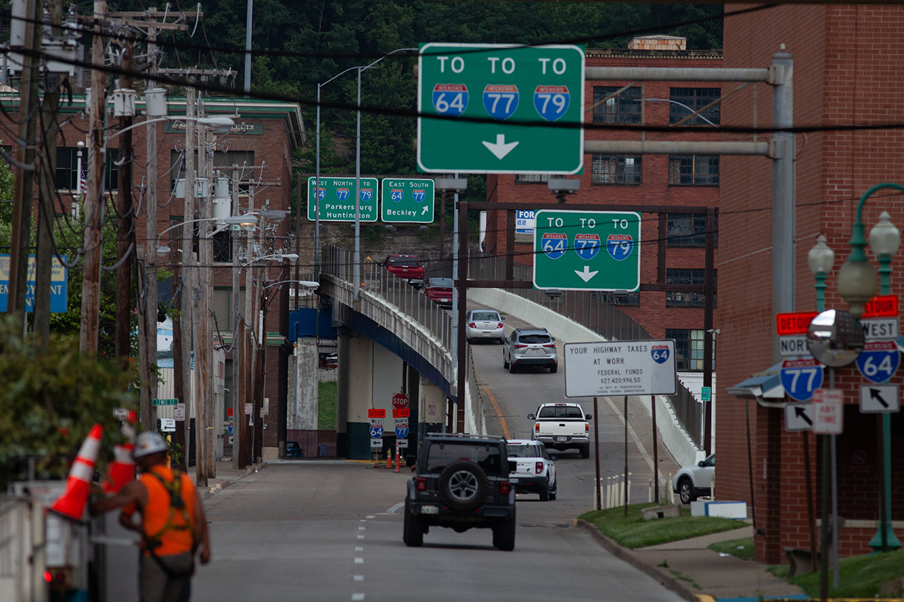
383 homes and 107 businesses were torn down in the Triangle neighborhood.
It was one of many predominantly black communities across the nation that was decimated by urban renewal and the interstate highway system.
"Community Still Grieves loss of triangle district..", Roxy Todd, WV Public broadcasting, 4/18/2020
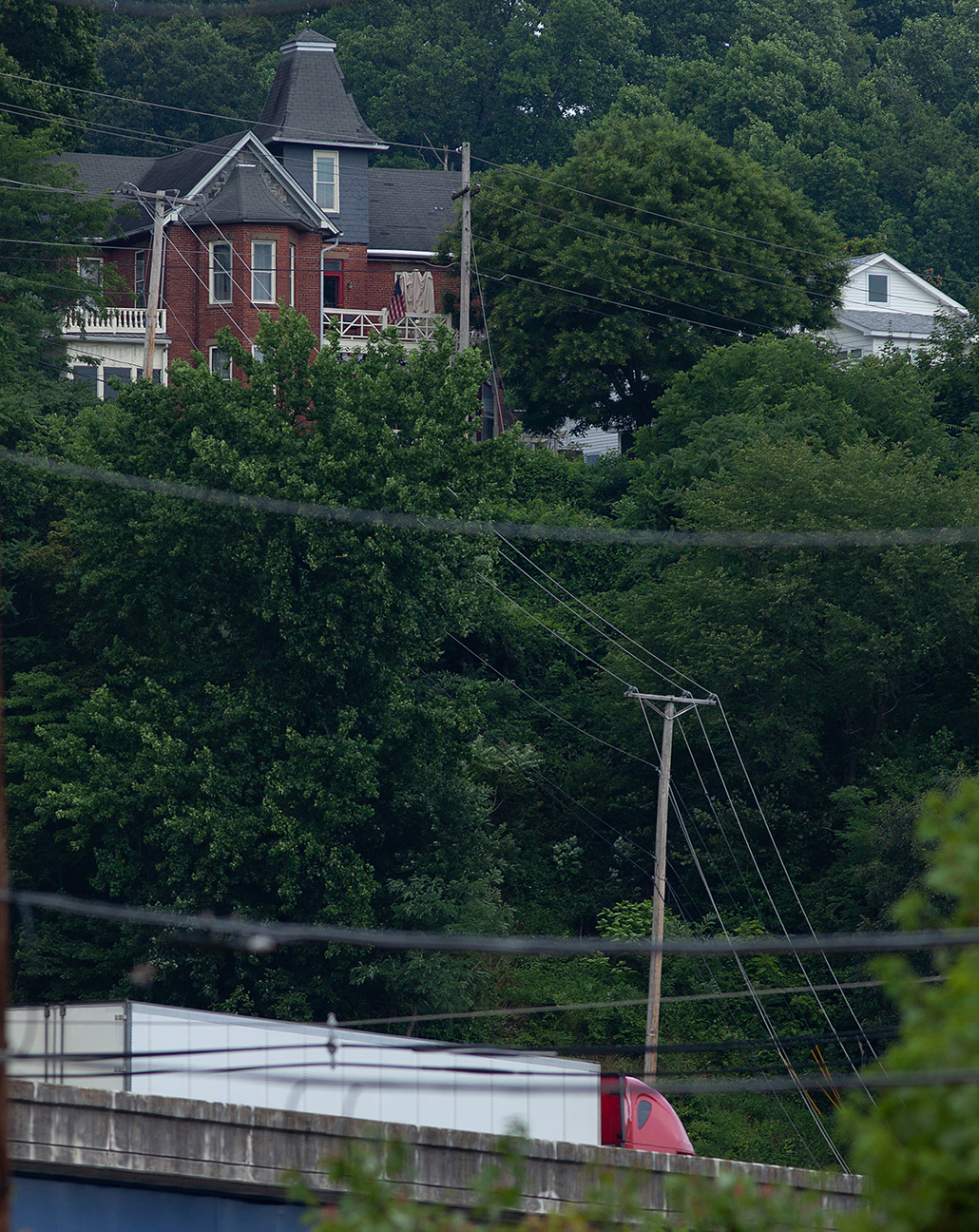
Charleston's Capitol hill neighborhood overlooks the triangle district
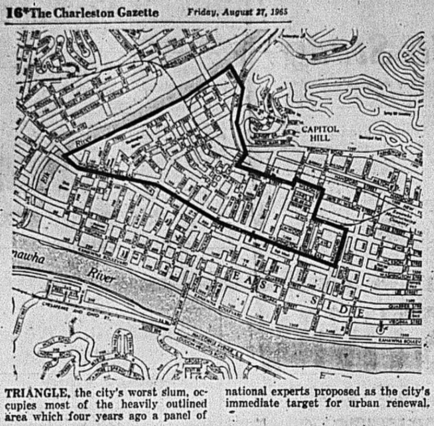
map of the triangle, charleston gazette, 8/27/1965
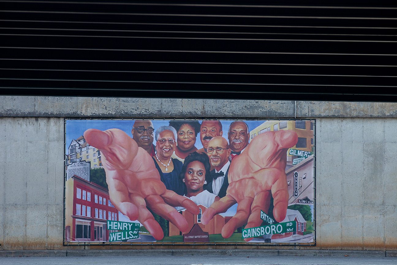
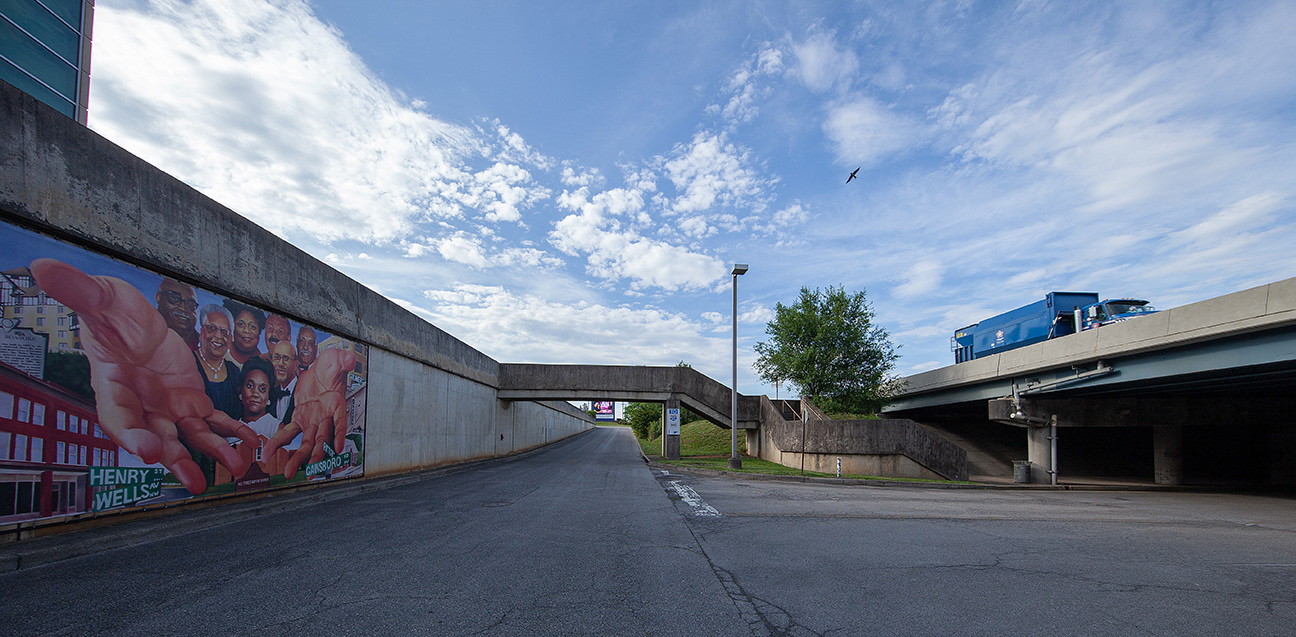
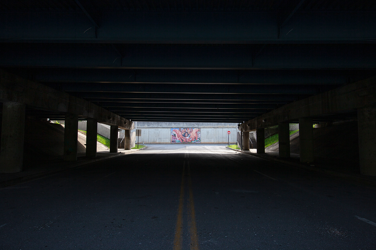
Roanoake, VA
gainsboro neighborhood
This series features views of the mural "the heart nsboro" by artist bryce cobb. it was dedicated in 2023 to honor the elders of the gainsboro neighborhood. Urban renewal by the interstate highway and the berglund center began in 1955. over 1600 homes and 200 businesses were demolished.
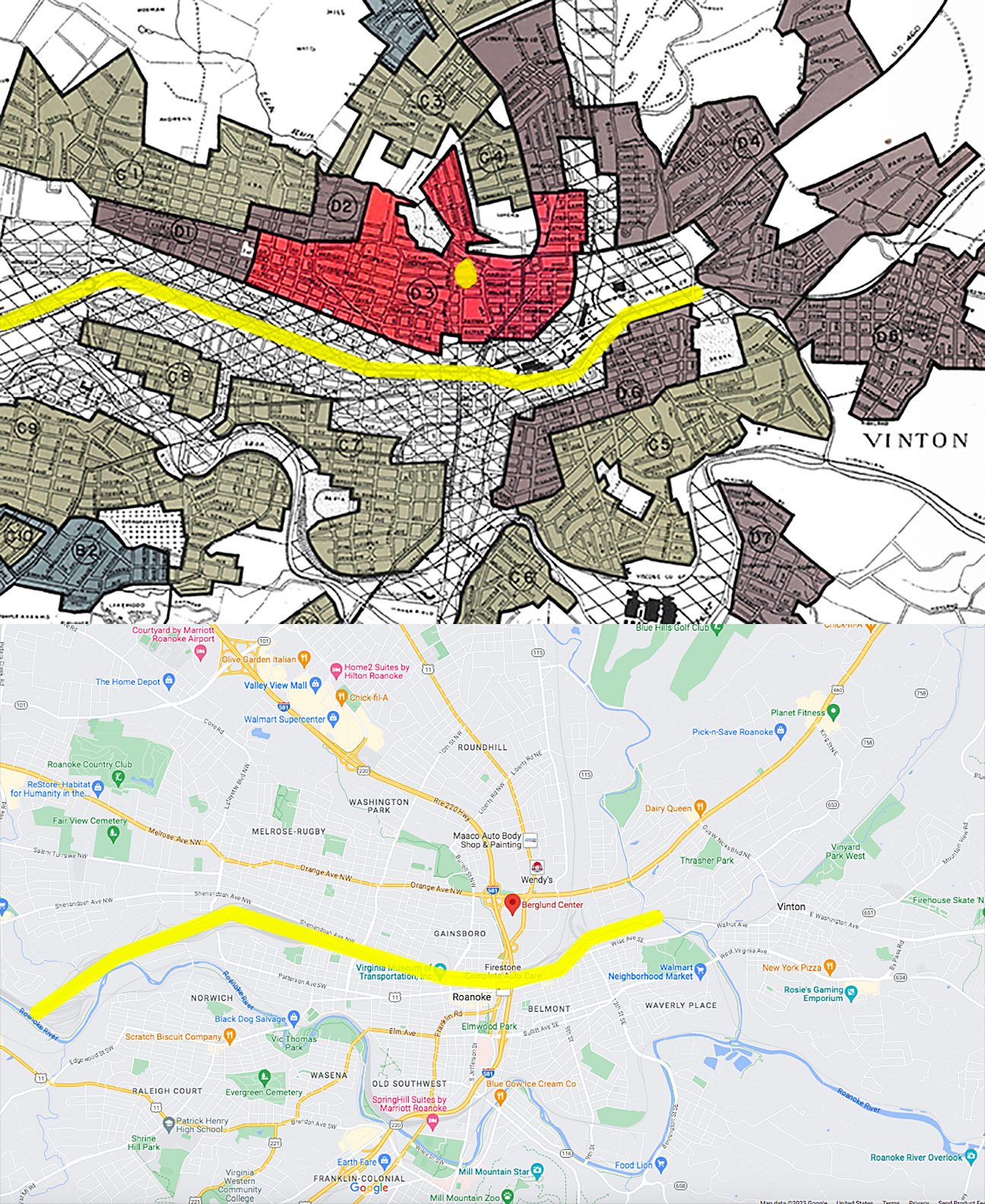
The top map shows redline area D3 from the federal redline map of Roanoke. The yellow dot in area D3 roughly aligns with the red dot of the Berglund Center, where the Heart of Roanoke mural hangs. The yellow lines on each map are rail lines, for reference.
Louisville, KY
west end neighborhood
smoketown
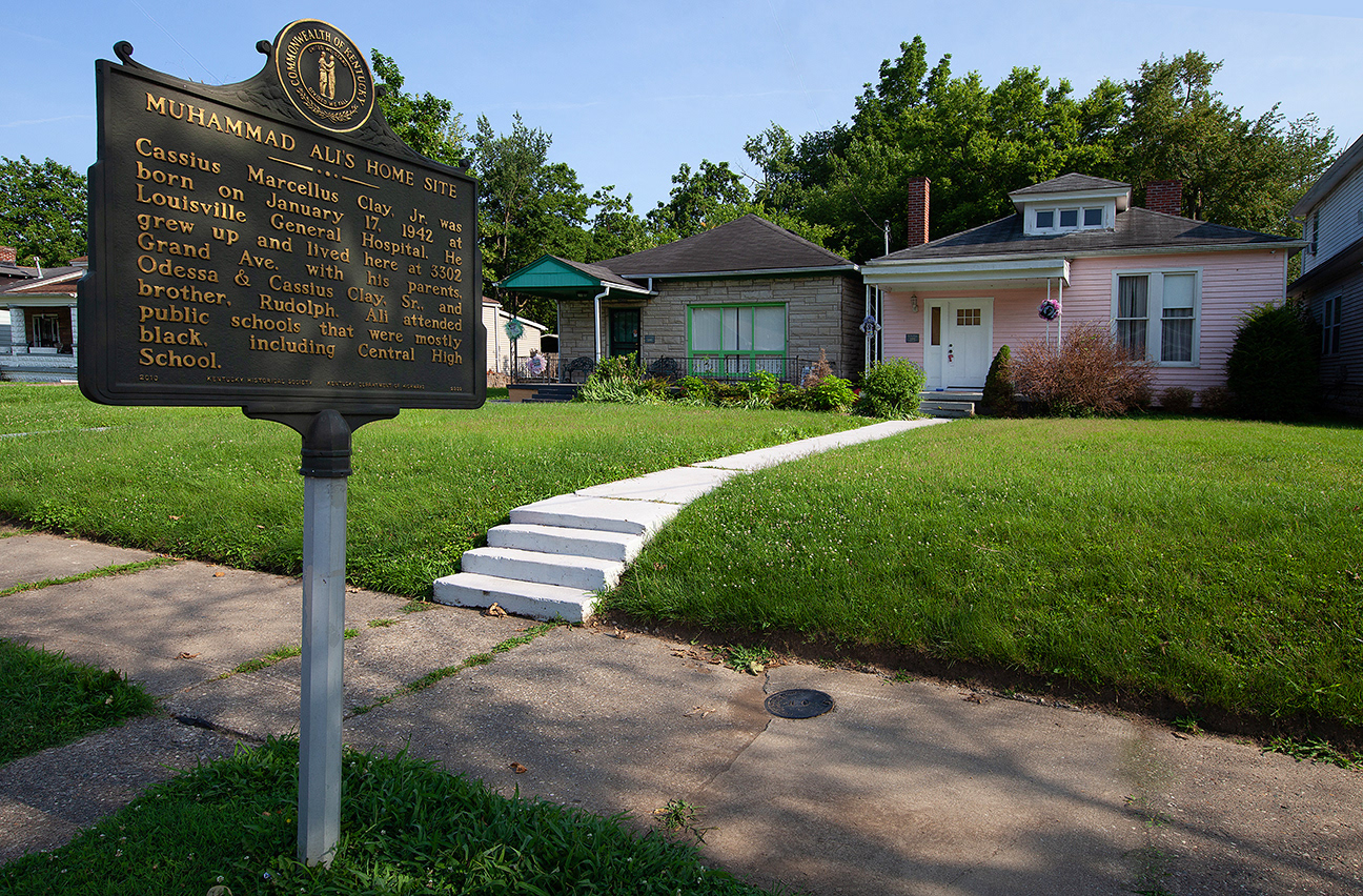
muhammad ali's childhood home in louisville, Ky's west end neighborhood sits within sight of I-264
Greenwood cemetery, west end school and muhammad ali childhood home in Louisville, ky (highlighted in red) are shown in relation to i-264
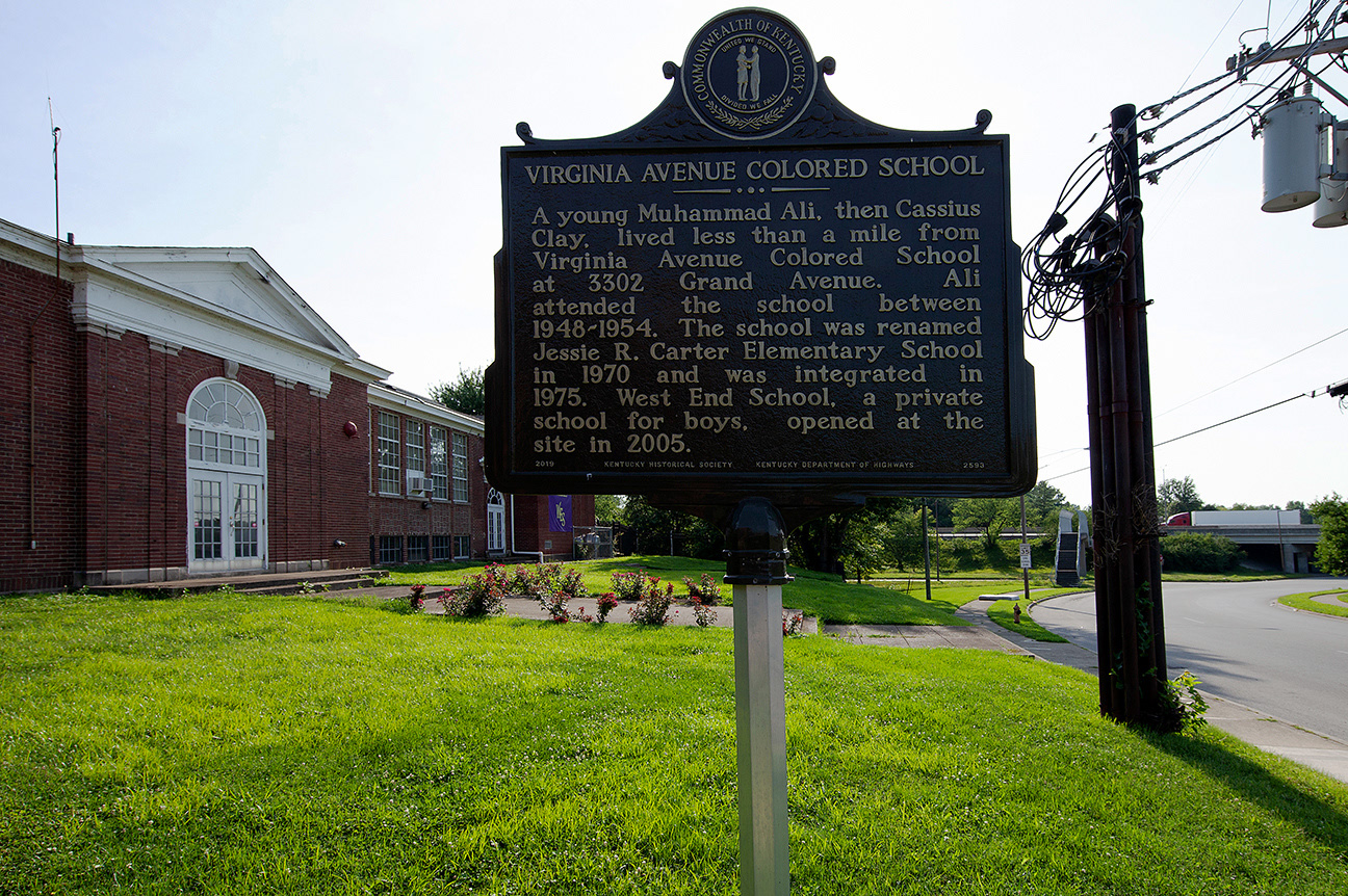
muhammad ali's elementary school, i-264
Greenwood cemetery in louisville, ky is a historic african-american graveyard that predates the incursion of
I-264
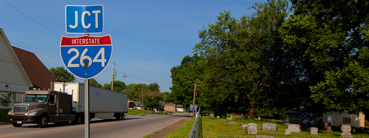
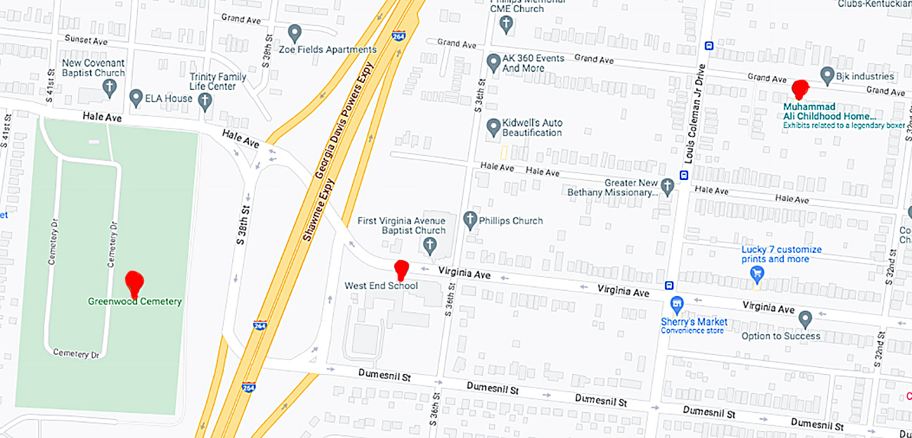
The three preceding photographs' locations are indicated in red.
construction of the section of I-264 that cut through this neighborhood extended from 1970 - 1974.
Smoketown is the oldest African American neighborhood in Louisville. I -65 carved a permanent and impactful boundary on the neighborhood's west side when it cut through town in the 1970's.
minnesota
minneapolis (old southside ) and st. paul, (Rondo)
This was once a neighborhood
Old Southside was a neighborhood that working - and middle - class black Minneapolitans called home. One resident of the area stated that the black middle class in the Old Southside “owned their homes, had pretty houses, lawns and gardens”. Another remarked that the neighborhood “helped to build a stable child - rearing environment for people of color as they migrated to the city”.
help may be on the way for rondo
By 1950 more than 80% of St Paul's african-American population lived in the rondo neighborhood. The construction of i-94 through the Rondo neighborhood displaced nearly six hundred families and three hundred businesses.
Decades later, the city of St. Paul is looking to make amends.
in 2023 the Rondo Inheritance Fund opened to direct descendants of those impacted. Those eligible can get up to $110,000 in forgivable loans for a down payment on a home or up to $80,000 for home repairs.
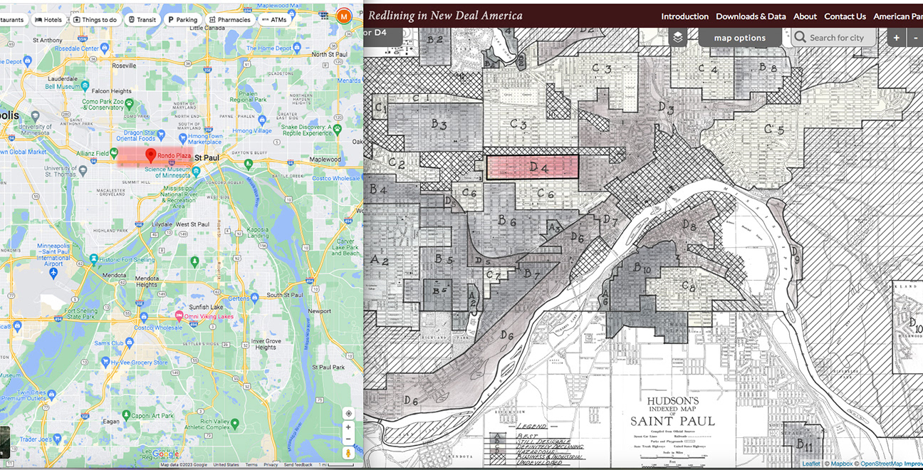
The map on the right is from the university of richmond website mapping Inequality
https://dsl.richmond.edu/panorama/redlining/#loc=12/39.264/-76.698&city=baltimore-md&area=D4
It is an atlas of redlining maps from 1940.
Here the stretch of i-94 that passes through the rondo neighborhood in st. paul is highlighted in red on the map on the left.
Topeka, KS
John and Mary Ritchie came to Topeka in early 1855 from Indiana.
John Ritchie helped to write the free-state constitution that brought Kansas into the Union in 1861.
he and his wife championed equal rights for women. Their support for racial equality drew African Americans to their property.
the neighborhood that grew on this spot endures the path carved by I-70 through topeka.
I-70 spans 424 miles across the state of kansas