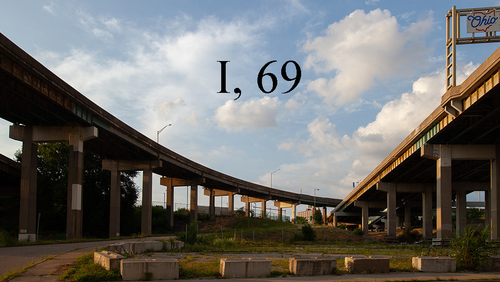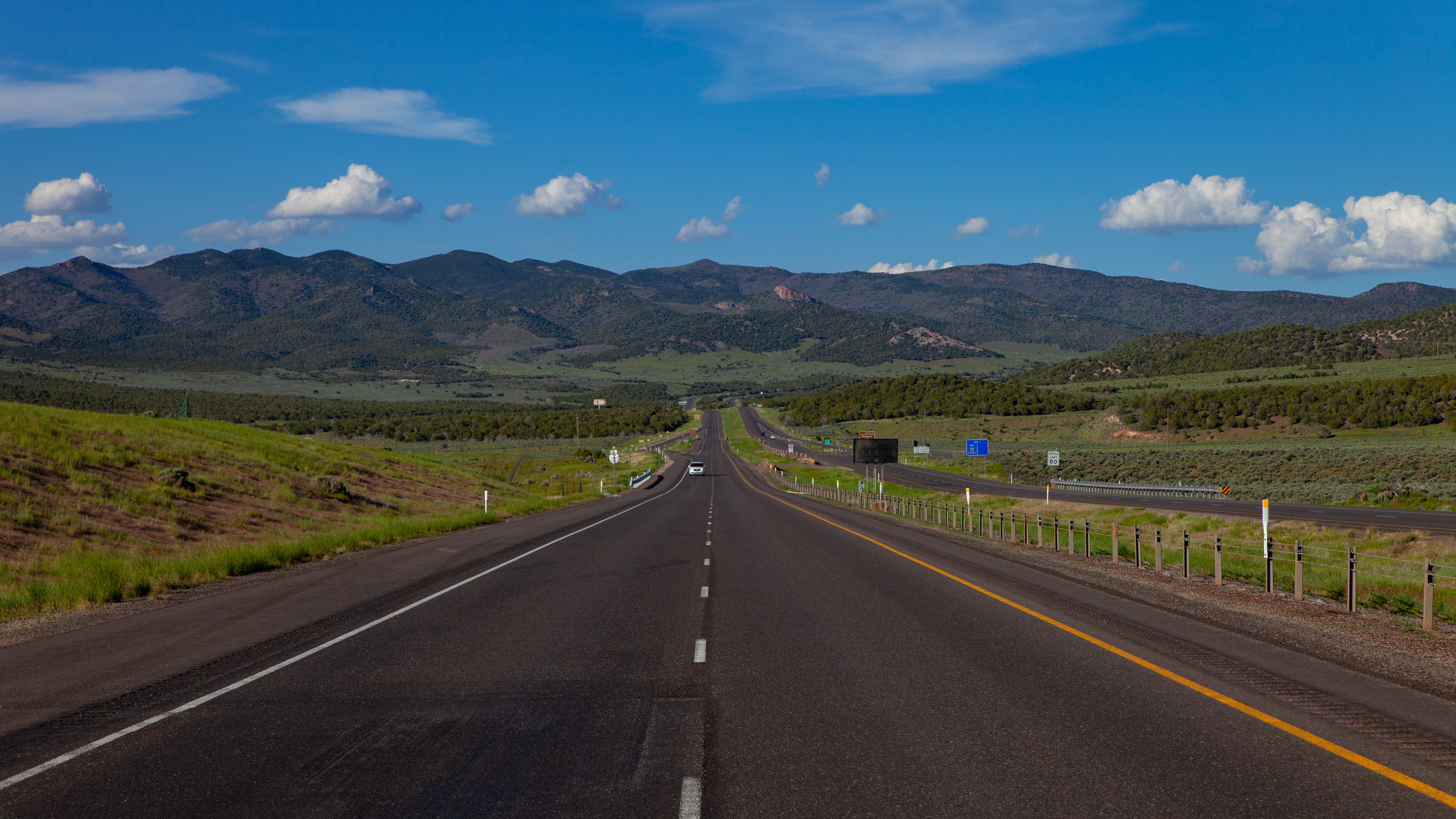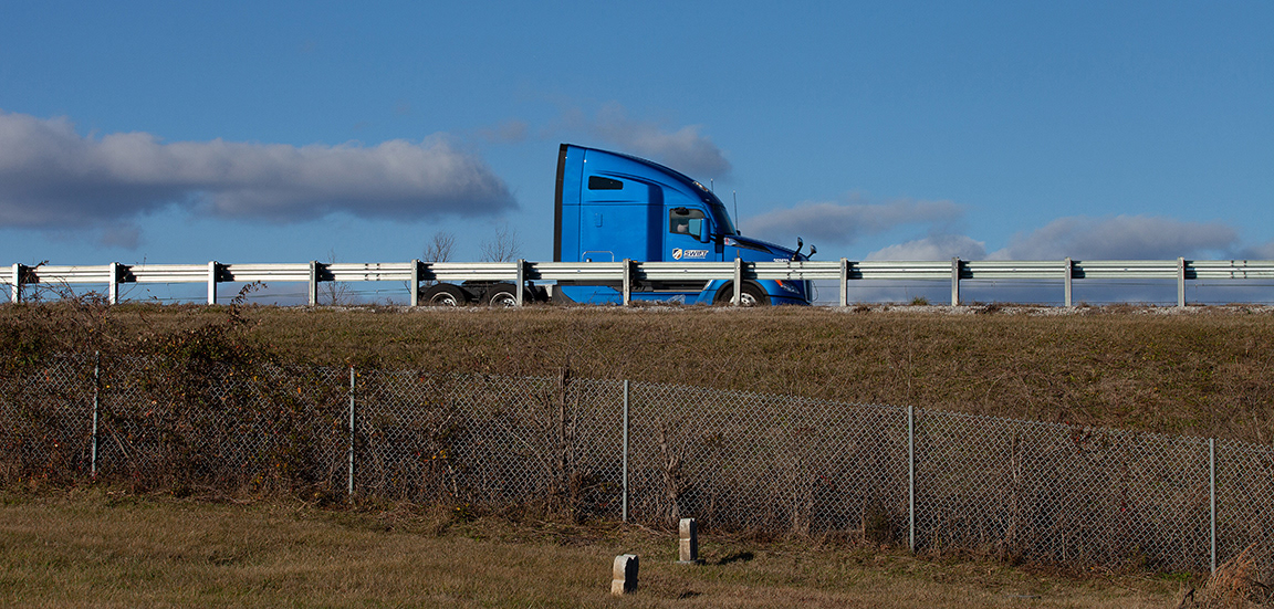
I, sixty-eight year-old photographer Michael DeFilippo, share a bond with the interstate highway system.
We were both born in 1956.
2024 marks the interstate's 68th year.
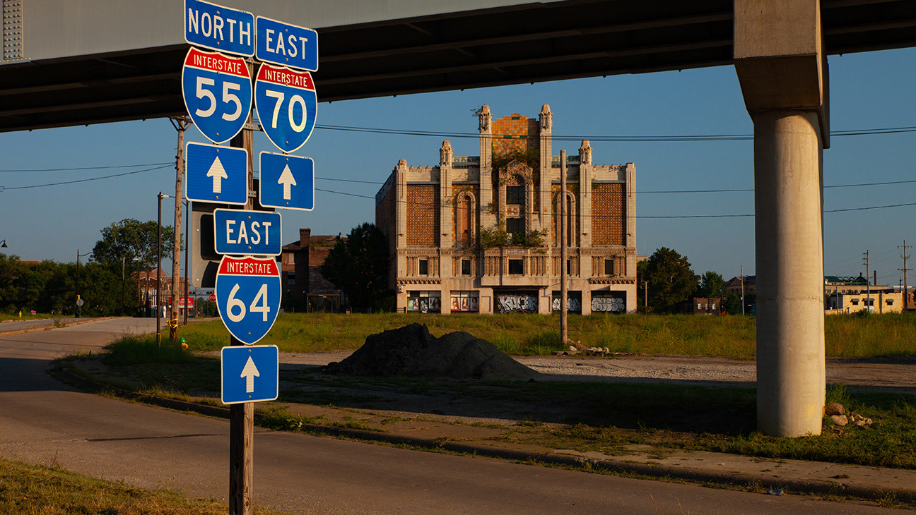
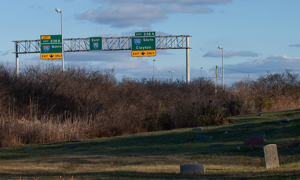
I-70 bisects Washington park cemetery. Once the largest African-american cemetery in the st louis metro area, washington park los ares to i-70 construction, 9 ares to airport expansion and another swath to light rail construcion. An estimate 11,974 - 13,600 bodies have been disinterred and relocated.
in this exploded view of the Home Owners Loan corporation (holc) map from the new deal era,
the town of kinloch, mo is redlined. kinloch is the oldest african-american community in MO.
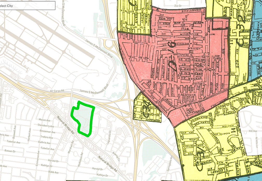
The current boundaries of Washington park cemetery and its proximity to the interstate, are outlined in green.
https://dsl.richmond.edu/panorama/redlining/map/MO/StLouis/context#loc=11/38.6385/-90.2851
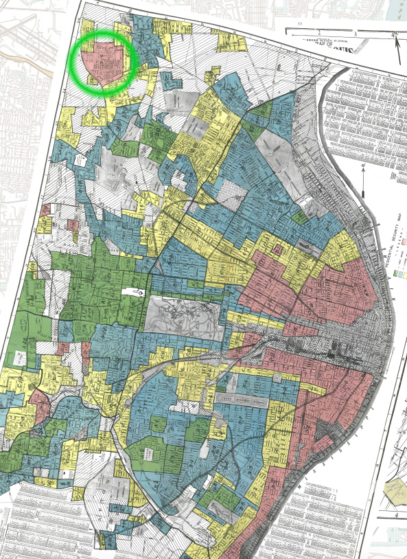
the green circle in the upper left corner of the full holc map of saint louis, mo circa 1940 surrounds kinloch, mo. whittled away by airport expansion more than highway and rail construction, kinloch's population has dropped from a high of 6,501 in 1960 to 263 in 2020.
this holc map is from the "mapping inequality ' project published by the university of richmond